Céide Fields
A hundred kilometres of wall under the bog
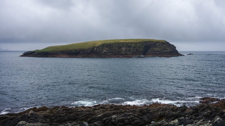
Photo de Mmedich sur Wikimedia Commons
Pas encore disponible en français. Affiché en anglais.
À propos de Céide Fields
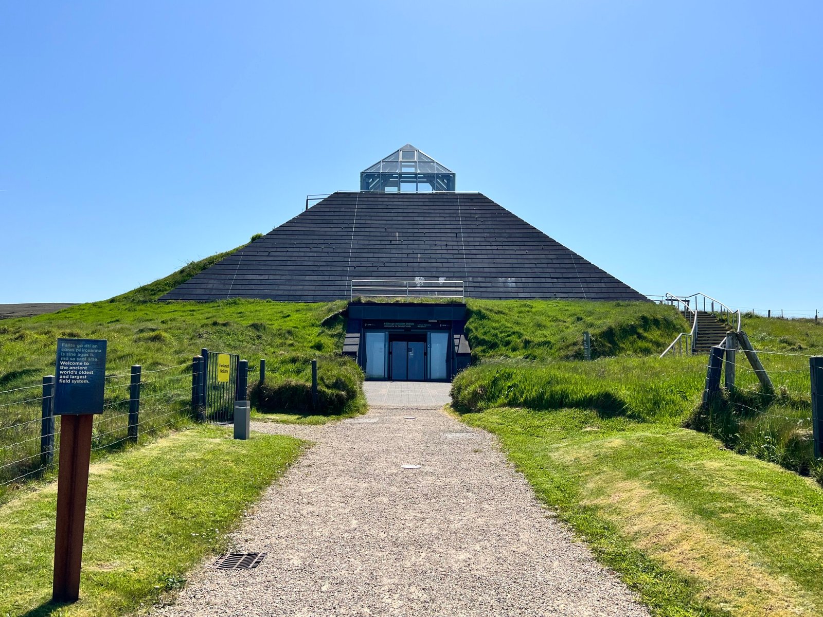
A prehistoric landscape of stone-walled field systems, habitation evidence, enclosures and megalithic monuments, all of it preserved under blanket bog on the north Mayo coast. An estimated hundred kilometres of field wall lies hidden beneath the peat. It has traditionally been read as a Neolithic farming landscape of the fourth millennium BC, though Andrew Whitefield has argued parts may be closer to Bronze or Iron Age systems found elsewhere in Europe. It was first noticed in the 1930s when the schoolteacher Patrick Caulfield, cutting turf, saw linear piles of stone emerging.
Regarder
Lire et planifier
À proximité, au-delà des frontières
À moins de 60 km de ce lieu, dans n'importe quel pays.