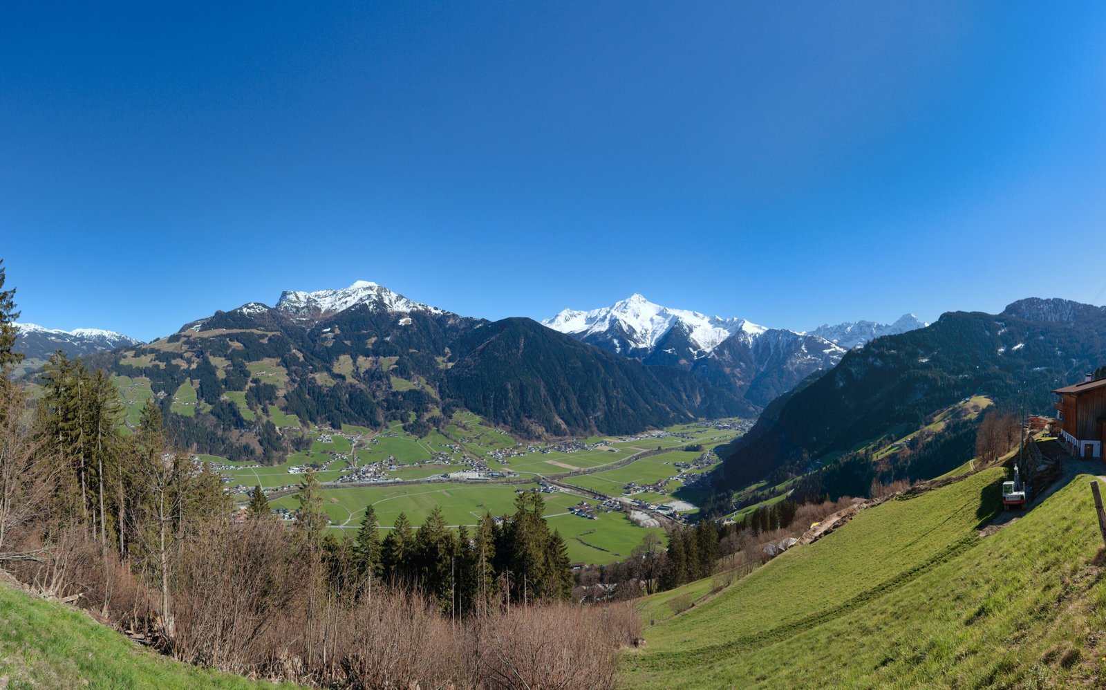
Zillertal
A hundred metres of rise over thirty kilometres
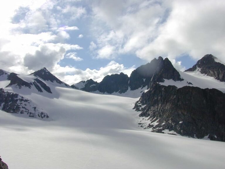
Foto von D-Kuru auf Wikimedia Commons
Noch nicht auf Deutsch verfügbar. Angezeigt wird die Fassung auf Englisch.
Über Zillertal
The widest valley south of the Inn, drained by the Ziller and giving its name to the Zillertal Alps, the heavily glaciated section it lies in, with the Tux Alps to the west and the lower grass peaks of the Kitzbühel Alps to the east. It branches from the Inn trench near Jenbach and runs north to south from Strass to Mayrhofen, where it splits into four smaller valleys, the Tux valley and the sparsely settled Gründe. Unusually for a side valley of the Inntal it rises only about a hundred metres over thirty kilometres.
Ansehen
Lesen und planen
In der Nähe, über Grenzen hinweg
Im Umkreis von 60 km um diesen Ort, in jedem Land.
Ruhiger in der Nähe
Weitere Orte anderer Art im Umkreis von 60 km.