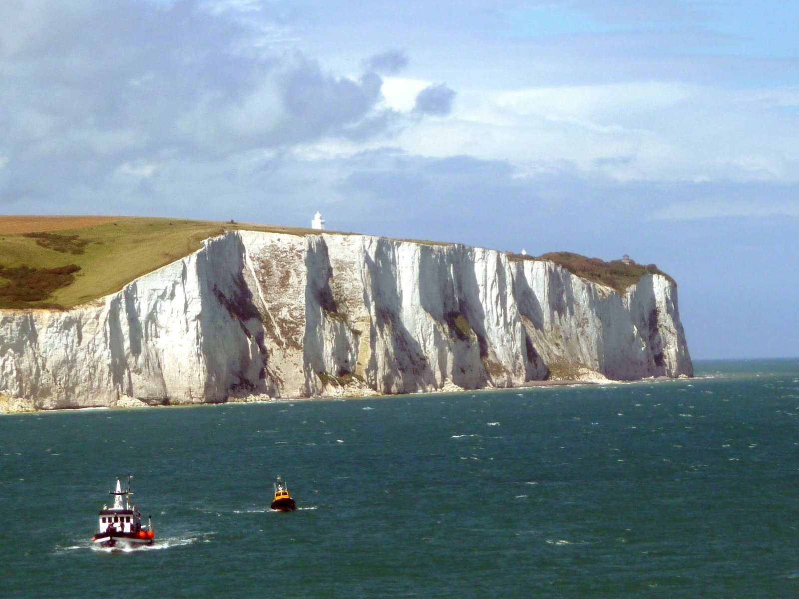
White Cliffs of Dover
Where Britain comes closest to the Continent
Foto von Immanuel Giel auf Wikimedia Commons
Noch nicht auf Deutsch verfügbar. Angezeigt wird die Fassung auf Englisch.
Über White Cliffs of Dover
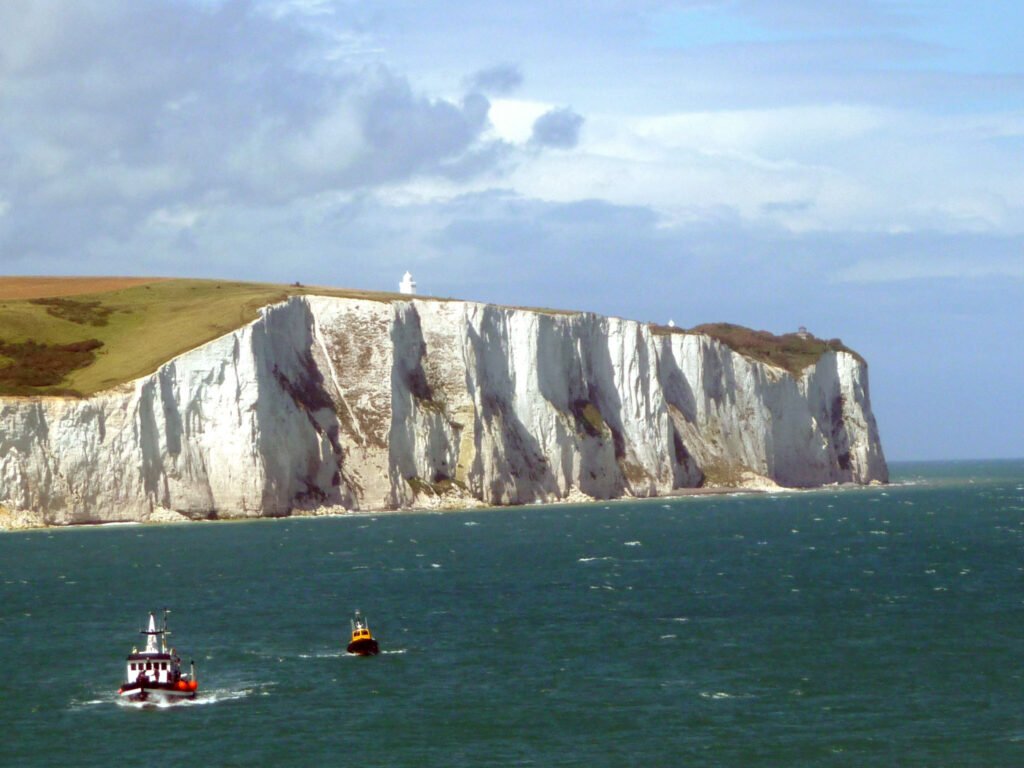
Eight miles of chalk cliff reaching 110 metres, streaked with black flint and laid down in the Late Cretaceous, marking the point where Britain comes closest to the Continent. France is about twenty miles off and visible on a clear day. They have impressed visitors since antiquity: Julius Caesar remarked on them when he invaded in 55 BC. They served as a natural defensive barrier, reinforced by Dover Castle in the eleventh century, and became a symbol of British resolve in World War II, and the first sight of home for the men evacuated from Dunkirk.
Ansehen
Lesen und planen
In der Nähe, über Grenzen hinweg
Im Umkreis von 60 km um diesen Ort, in jedem Land.