Vipava Valley
The corridor from Italy into central Europe
Foto von Sl-Ziga auf Wikimedia Commons
Noch nicht auf Deutsch verfügbar. Angezeigt wird die Fassung auf Englisch.
Über Vipava Valley
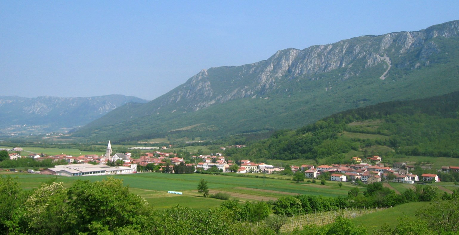
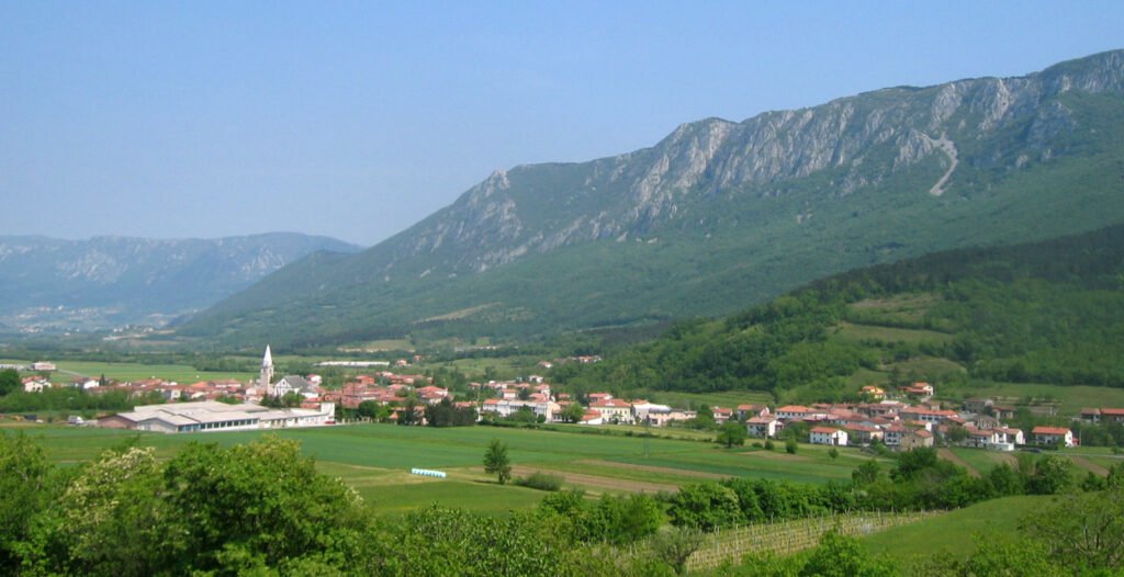
The narrow valley of the Vipava is the main passage between the Friulian lowland and central Slovenia, which makes it a corridor between northern Italy and central Europe, closed to the north by the high Trnovo Forest Plateau and to the south by the Karst Plateau and the Branica Valley. Ajdovščina is the main town, with Vipava the other. Administratively it is divided among five Slovenian municipalities and reaches into the Italian province of Gorizia, and it is understood as five microregions from the lower valley and Gorizia Plain up to the upper.
Ansehen
Lesen und planen
In der Nähe, über Grenzen hinweg
Im Umkreis von 60 km um diesen Ort, in jedem Land.
Ruhiger in der Nähe
Weitere Orte anderer Art im Umkreis von 60 km.