Vienna
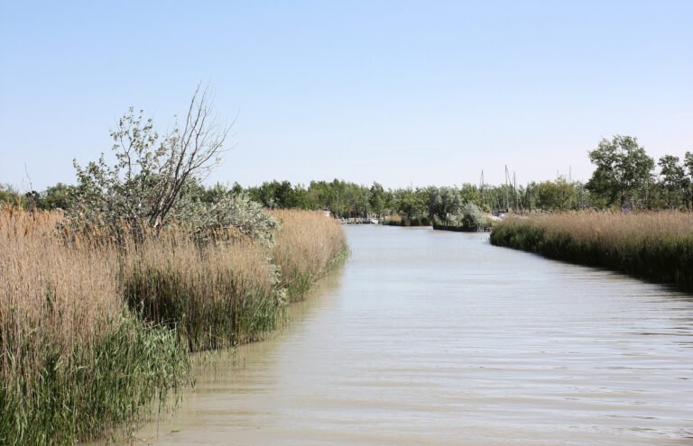
Roman Vindobona, on the Danube
Foto von Superbass auf Wikimedia Commons
Noch nicht auf Deutsch verfügbar. Angezeigt wird die Fassung auf Englisch.
Über Vienna
The Romans founded a castrum here in the first century, called Vindobona, when the region belonged to Pannonia, and raised it to a municipium with city rights. The city sits on the Danube at the eastern edge of the Vienna Woods (the northeasternmost foothills of the Alps, which separate it from the rest of the country) where the ground gives way to the Pannonian Basin. It is completely surrounded by Lower Austria, and lies about fifty kilometres from Slovakia and from Hungary, and sixty from Moravia. Nearly a third of Austria lives in its metropolitan area.
Ansehen
Lesen und planen
In der Nähe, über Grenzen hinweg
Im Umkreis von 60 km um diesen Ort, in jedem Land.