Vatnajökull National Park
Fourteen per cent of Iceland
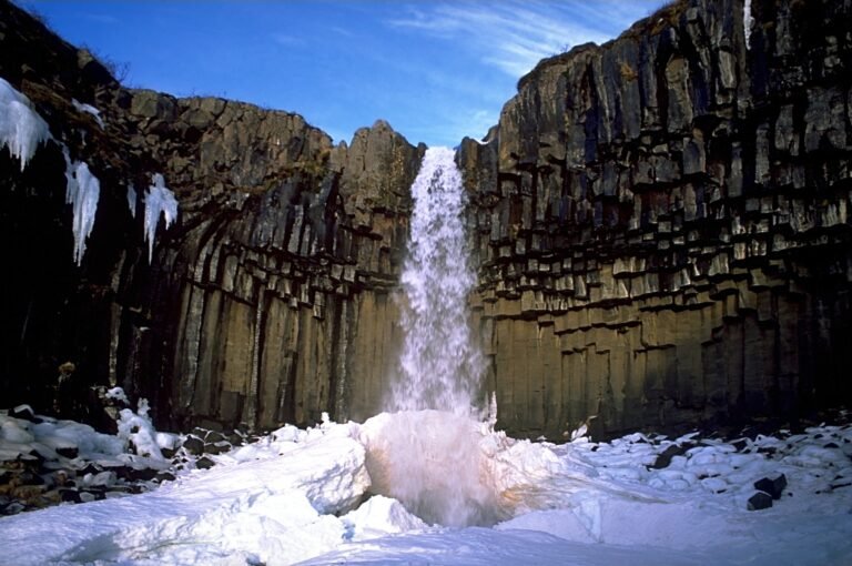
Foto von Gummao auf Wikimedia Commons
Noch nicht auf Deutsch verfügbar. Angezeigt wird die Fassung auf Englisch.
Über Vatnajökull National Park
The largest national park in Iceland and the second largest in Europe after Yugyd Va in the Ural Mountains: 14,967 square kilometres, about 14 per cent of the country. It was established on 7 June 2008 by joining the older Skaftafell and Jökulsárgljúfur parks and has been enlarged since with Lakagígar, Langisjór, Krepputunga and Jökulsárlón. Vatnajökull itself is Europe’s largest glacier outside the Arctic at 8,100 square kilometres, generally 400 to 600 metres thick and up to 950, concealing mountains, valleys and plateaus beneath. UNESCO listed the park on 5 July 2019.
Ansehen
Lesen und planen
In der Nähe, über Grenzen hinweg
Im Umkreis von 60 km um diesen Ort, in jedem Land.