Tuscany RadrouteWandern in den BergenHistorische Stadt
Val d’Orcia
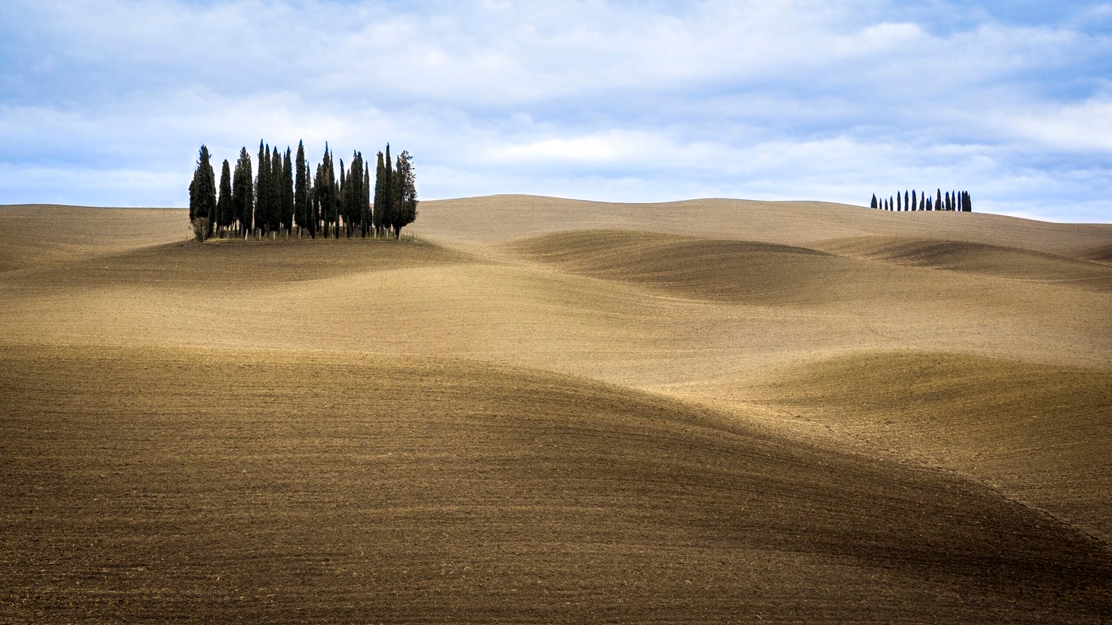
The working farmland everyone pictures as Tuscany
Foto von Carlo cattaneo fotografie auf Wikimedia Commons
Noch nicht auf Deutsch verfügbar. Angezeigt wird die Fassung auf Englisch.
Über Val d’Orcia
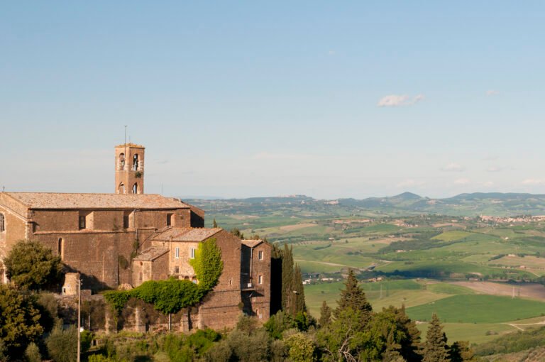
The Val d’Orcia extends from the hills south of Siena down to Monte Amiata, across the provinces of Siena and Grosseto in central Tuscany. Its gentle cultivated hills are broken here and there by gullies and by towns like Pienza, rebuilt as an ideal Renaissance town in the fifteenth century under Pope Pius II, and Radicofani. This is the landscape that most people picture when they picture Tuscany, and it is a working agricultural one rather than a preserved one. Late spring and early autumn are the light.
Ansehen
Lesen und planen
In der Nähe, über Grenzen hinweg
Im Umkreis von 60 km um diesen Ort, in jedem Land.