Rhineland-Palatinate Schloss und LandhausRadrouteRiver valley
Upper Middle Rhine Valley
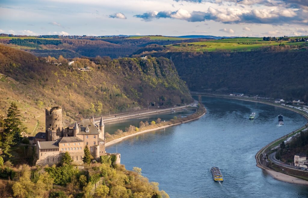
65 kilometres of castles, terraces and river
Foto von Alexander Hoernigk auf Wikimedia Commons
Noch nicht auf Deutsch verfügbar. Angezeigt wird die Fassung auf Englisch.
Über Upper Middle Rhine Valley
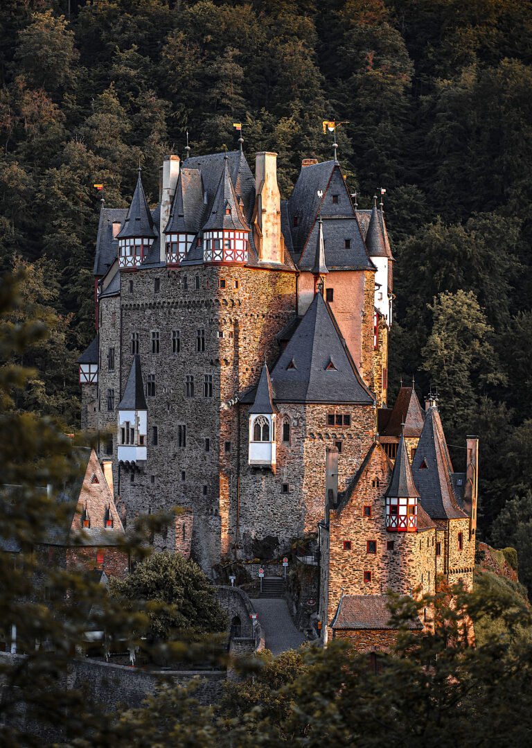
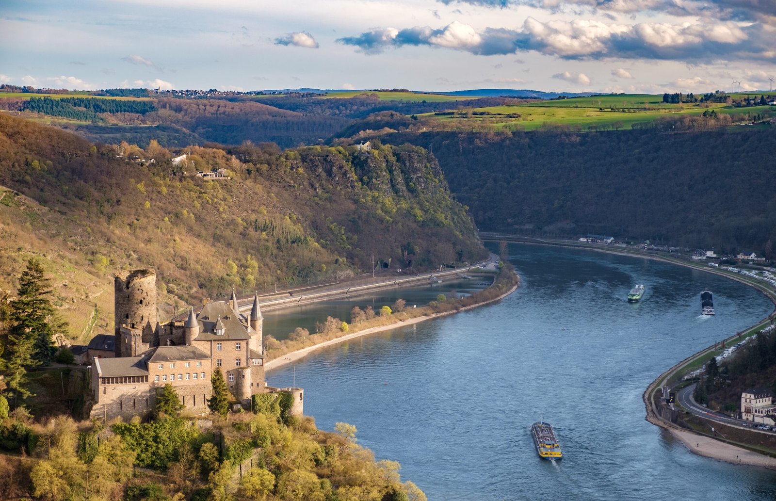
The Upper Middle Rhine Valley is the 65-kilometre southern section of the Middle Rhine between Koblenz and Rüdesheim, in Rhineland-Palatinate and Hesse. UNESCO added it to the World Heritage list in June 2002 for its beauty as a cultural landscape, its importance as a route of transport across Europe, and the way its buildings and terraces have adapted to the steep sides of the gorge. Castles stand at close intervals along both banks, and the vineyards run right down to the water.
Ansehen
Lesen und planen
In der Nähe, über Grenzen hinweg
Im Umkreis von 60 km um diesen Ort, in jedem Land.