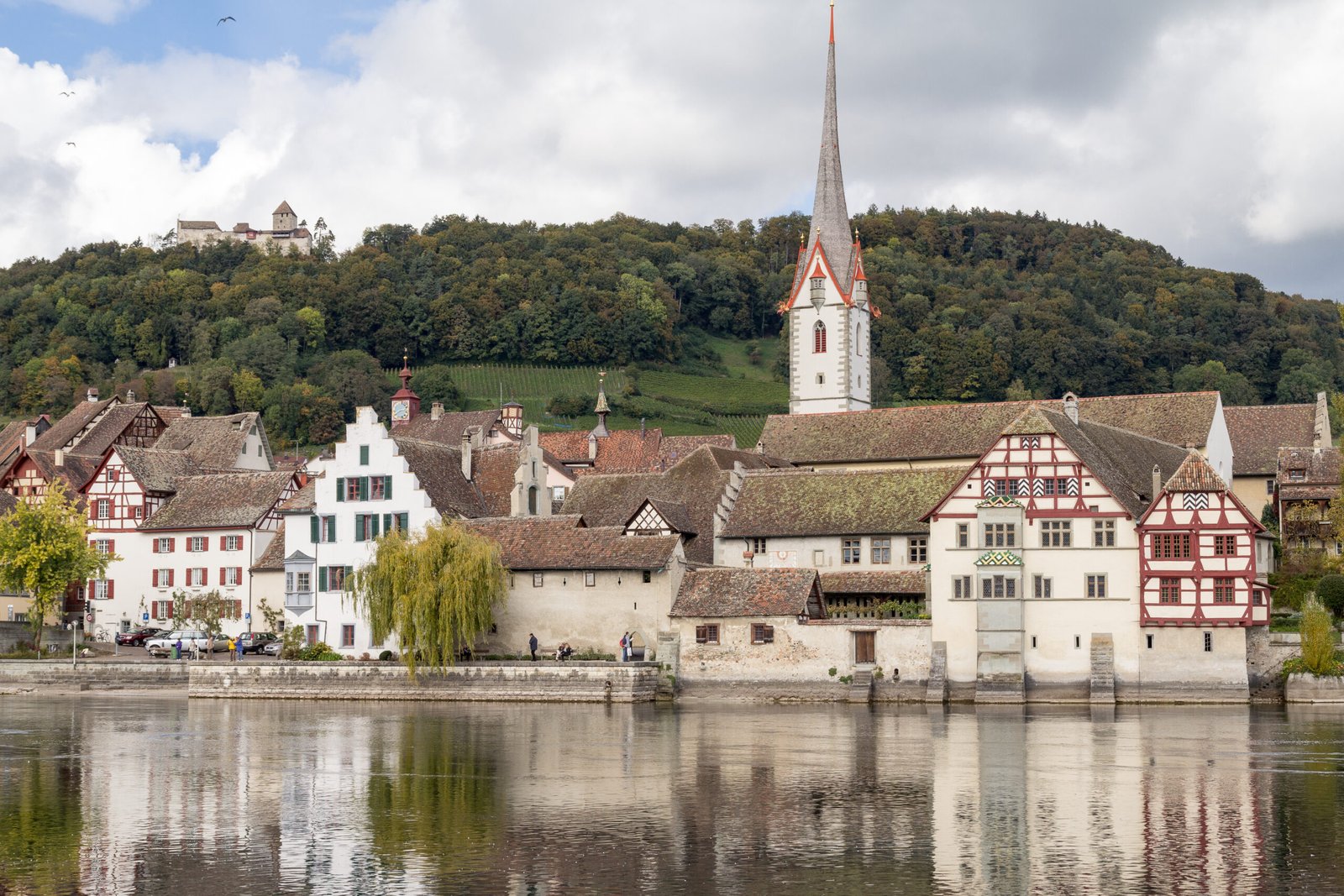
Stein am Rhein
A medieval town wall now made of houses
Foto von JoachimKohler-HB auf Wikimedia Commons
Noch nicht auf Deutsch verfügbar. Angezeigt wird die Fassung auf Englisch.
Über Stein am Rhein
A town at the outfall of Lower Lake Constance into the High Rhine, whose medieval centre keeps its ancient street plan; the line of the city wall and the gates survive, though the wall itself is now made of houses. The old quarter is pedestrianised and a great many of its buildings are painted with frescoes. Around 1007 Emperor Henry II moved St George’s Abbey here from the Hohentwiel to strengthen his hold on a point where major road and river routes crossed, granting the abbots wide rights over the town and its trade, to considerable effect.
Ansehen
Lesen und planen
In der Nähe, über Grenzen hinweg
Im Umkreis von 60 km um diesen Ort, in jedem Land.



Ruhiger in der Nähe
Weitere Orte anderer Art im Umkreis von 60 km.