Northeastern Region Kunst & MuseumCoastal & cliff walkingWandern in den Bergen
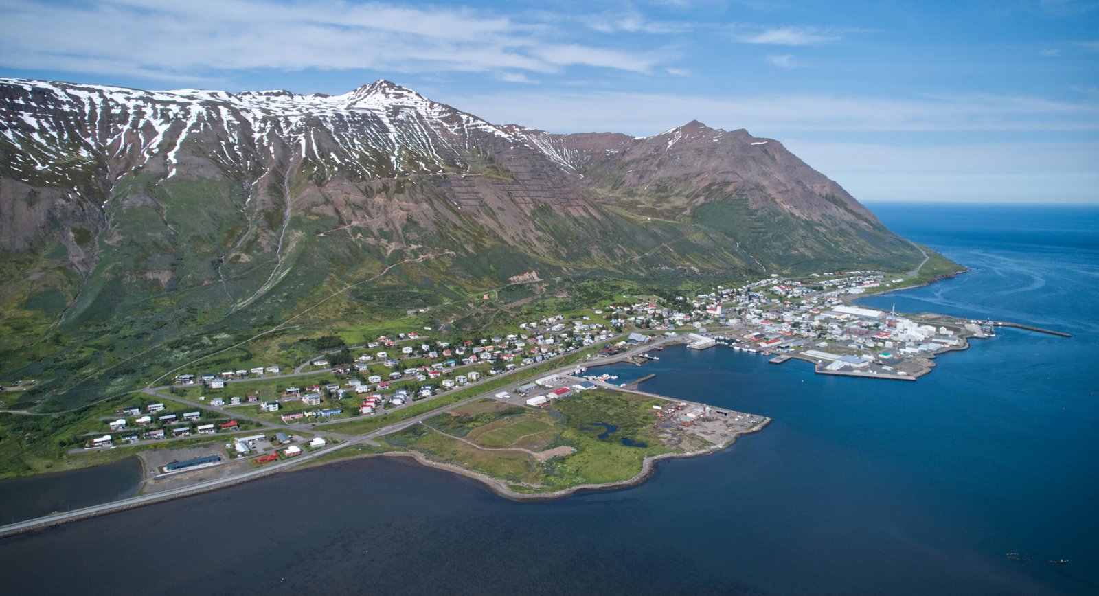
Siglufjörður
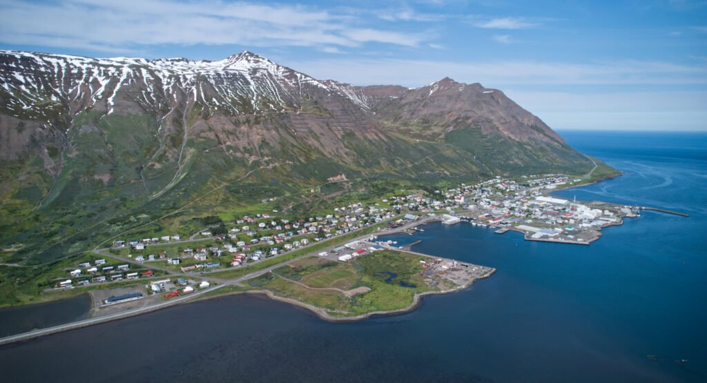
A town that herring built and herring left
Foto von Steinninn auf Wikimedia Commons
Noch nicht auf Deutsch verfügbar. Angezeigt wird die Fassung auf Englisch.
Über Siglufjörður
A fishing town in a narrow fjord that herring built and herring left. The population climbed from 146 in 1901 to a peak of about 3,000 in the 1950s, then fell away after fishing declined from 1970 and the processing plants shut; it stood at 1,206 in 2011. Iceland’s first Municipal Savings Bank was founded here in 1873 and the town gained its charter on 22 October 1918. The Herring Era Museum opened in 1994. The Héðinsfjörður tunnels, open since 2010, connect it to Ólafsfjörður, with which it merged in 2006 as Fjallabyggð, the mountain settlement.
Ansehen