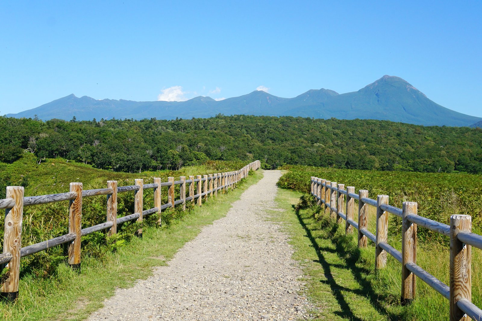
Shiretoko National Park
Japan's largest population of brown bears
Foto von 663highland auf Wikimedia Commons
Noch nicht auf Deutsch verfügbar. Angezeigt wird die Fassung auf Englisch.
Über Shiretoko National Park
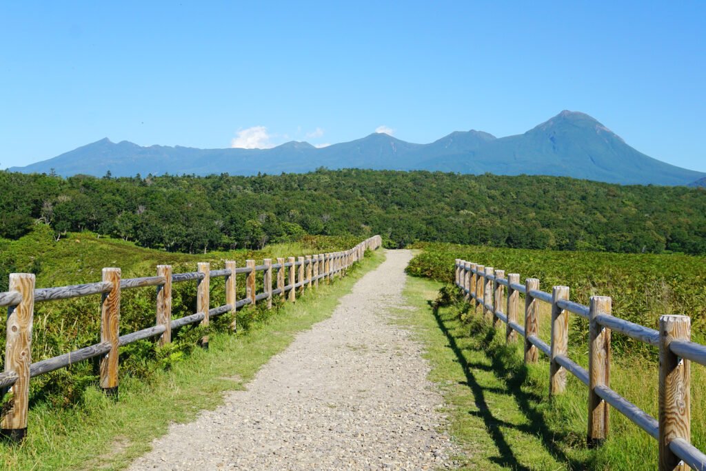
The park covers most of the Shiretoko Peninsula at the northeastern tip of Hokkaido, and the name comes from the Ainu sir etok, the place where the earth protrudes. It is one of the most remote regions in Japan, reachable only on foot or by boat, and it holds the country’s largest population of brown bears. Steller’s sea eagle and white-tailed eagle nest here; spotted seal, orca and sperm whale pass offshore; and on a clear day you can see Kunashiri Island, whose ownership Japan and Russia dispute. Kamuiwakka Falls, a hot springs waterfall, takes its name from the Ainu for water of the gods.
Ansehen