Senja
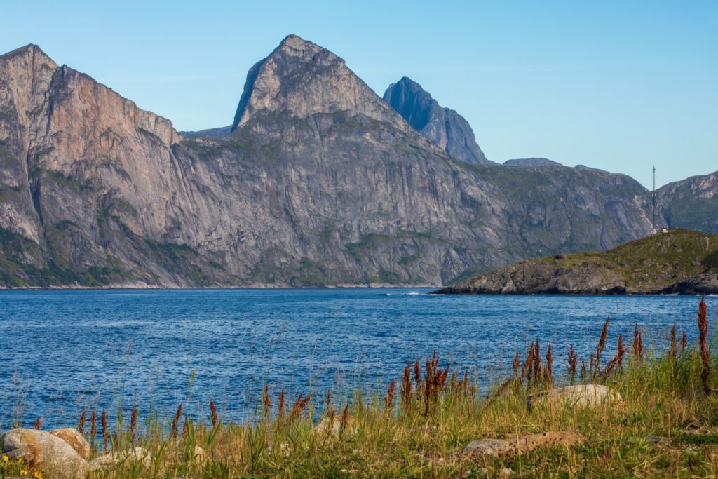
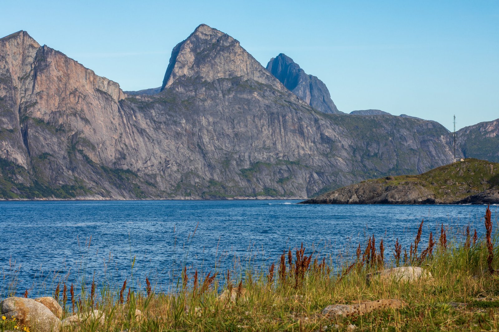
Wild on the Atlantic side, green on the other
Foto von Ximonic (Simo Räsänen) auf Wikimedia Commons
Noch nicht auf Deutsch verfügbar. Angezeigt wird die Fassung auf Englisch.
Über Senja
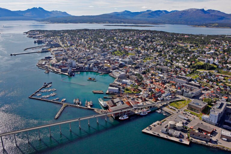
Norway’s second largest island outside Svalbard, 1,586 square kilometres of it, and split cleanly in character: the western side facing the Atlantic is wild and mountainous, torn into small fjords, while the eastern side is mild and green, which is where nearly everyone lives. Ånderdalen National Park covers the south. In June 2025 archaeologists announced a well-preserved Viking boat burial from around AD 900–950, a woman laid on her side with her knees bent in a boat barely five and a half metres long, a small dog at her feet. The Gisund Bridge connects the island to the mainland.
Ansehen