Samsø
All its electricity from wind and biomass
Foto von Bob Collowan auf Wikimedia Commons
Noch nicht auf Deutsch verfügbar. Angezeigt wird die Fassung auf Englisch.
Über Samsø
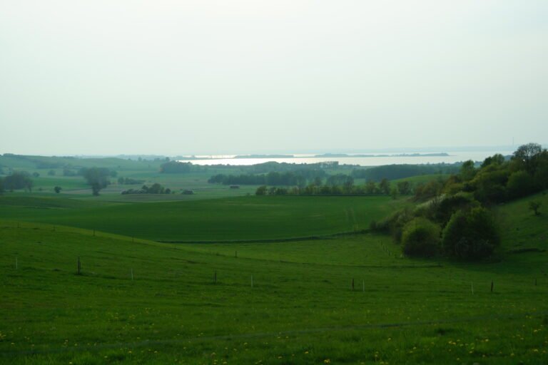
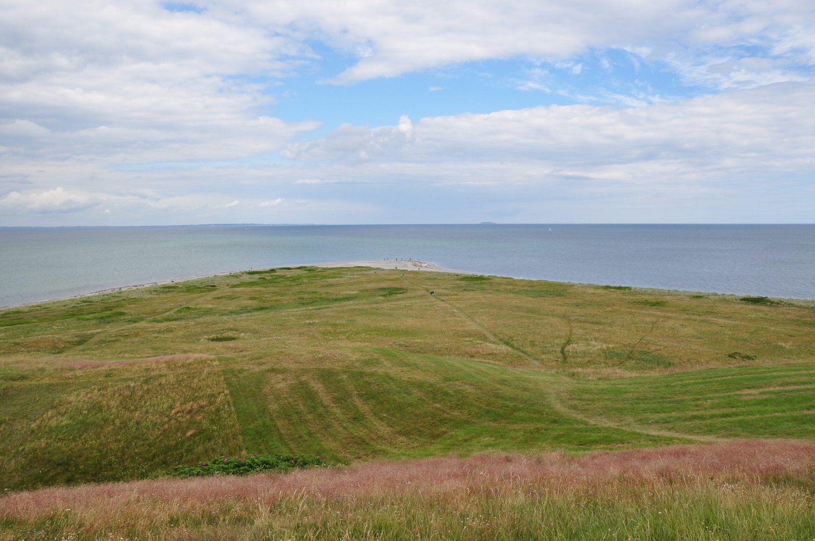
An island of 114 square kilometres in the Kattegat, used as a meeting place in the Viking Age because of where it sits, and split in two by the artificial Kanhave canal. The north is sand and gravel left by the retreating ice, the south boulder clay and outwash plain, and the coast throughout is steep cliff and stony beach with sandy stretches between. In 1997 Samsø won a government competition to become a model renewable energy community, and its electricity now comes entirely from wind power and biomass. The world’s largest permanent labyrinth was laid out north of Nordby in 2000.
Ansehen
Lesen und planen
In der Nähe, über Grenzen hinweg
Im Umkreis von 60 km um diesen Ort, in jedem Land.