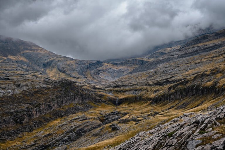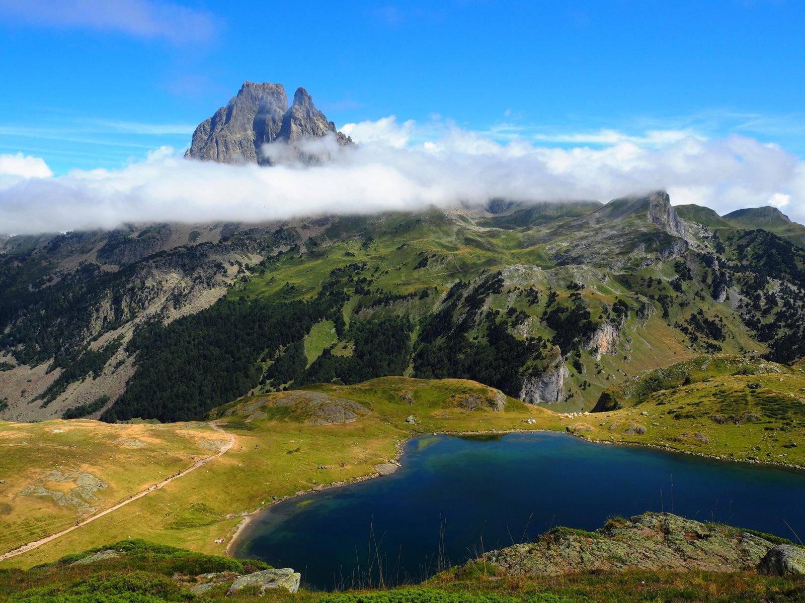
Pyrénées National Park
Cirques and high pasture on the border with Spain
Foto von Florent Figon auf Wikimedia Commons
Noch nicht auf Deutsch verfügbar. Angezeigt wird die Fassung auf Englisch.
Über Pyrénées National Park
Pyrénées National Park runs along the border of France and Spain through the departments of Hautes-Pyrénées and Pyrénées-Atlantiques, following the mountain chain itself. The park is set up for outdoor use (hiking, skiing, mountain climbing and wildlife watching) and the scenery is the reason people come: cirques, waterfalls and high pasture with the frontier ridge above. It forms the French section of the Pyrénées – Mont Perdu World Heritage Site, inscribed in 1997, which straddles the border. Snow closes the higher ground well into early summer.
Ansehen
Lesen und planen
In der Nähe, über Grenzen hinweg
Im Umkreis von 60 km um diesen Ort, in jedem Land.