Madeira Alpine & high mountainWandern in den BergenVolcanic landscape
Pico do Areeiro
A summit reachable by road, and a ridge walk from it
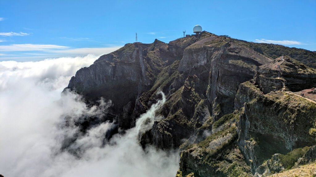
Foto von Krib auf Wikimedia Commons
Noch nicht auf Deutsch verfügbar. Angezeigt wird die Fassung auf Englisch.
Über Pico do Areeiro
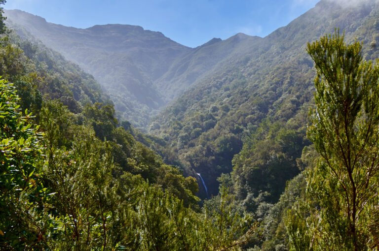
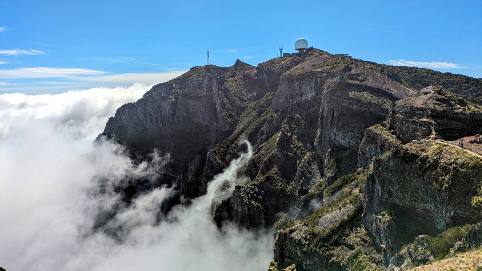
Pico do Areeiro stands at 1,818 metres, the third highest mountain on Madeira, in the mountainous interior roughly halfway between the northern and southern coasts. It is unusual among high summits in being reachable by road directly from Funchal, which makes it a year-round attraction and busy at sunrise. On a clear day the neighbouring islands are visible. The ridge walk from here toward Pico Ruivo is the classic route on Madeira, exposed, tunnelled through rock in places, and often above the cloud.
Ansehen
Lesen und planen
In der Nähe, über Grenzen hinweg
Im Umkreis von 60 km um diesen Ort, in jedem Land.