Pembrokeshire Coast
The UK's only largely coastal national park
Foto von JKMMX auf Wikimedia Commons
Noch nicht auf Deutsch verfügbar. Angezeigt wird die Fassung auf Englisch.
Über Pembrokeshire Coast
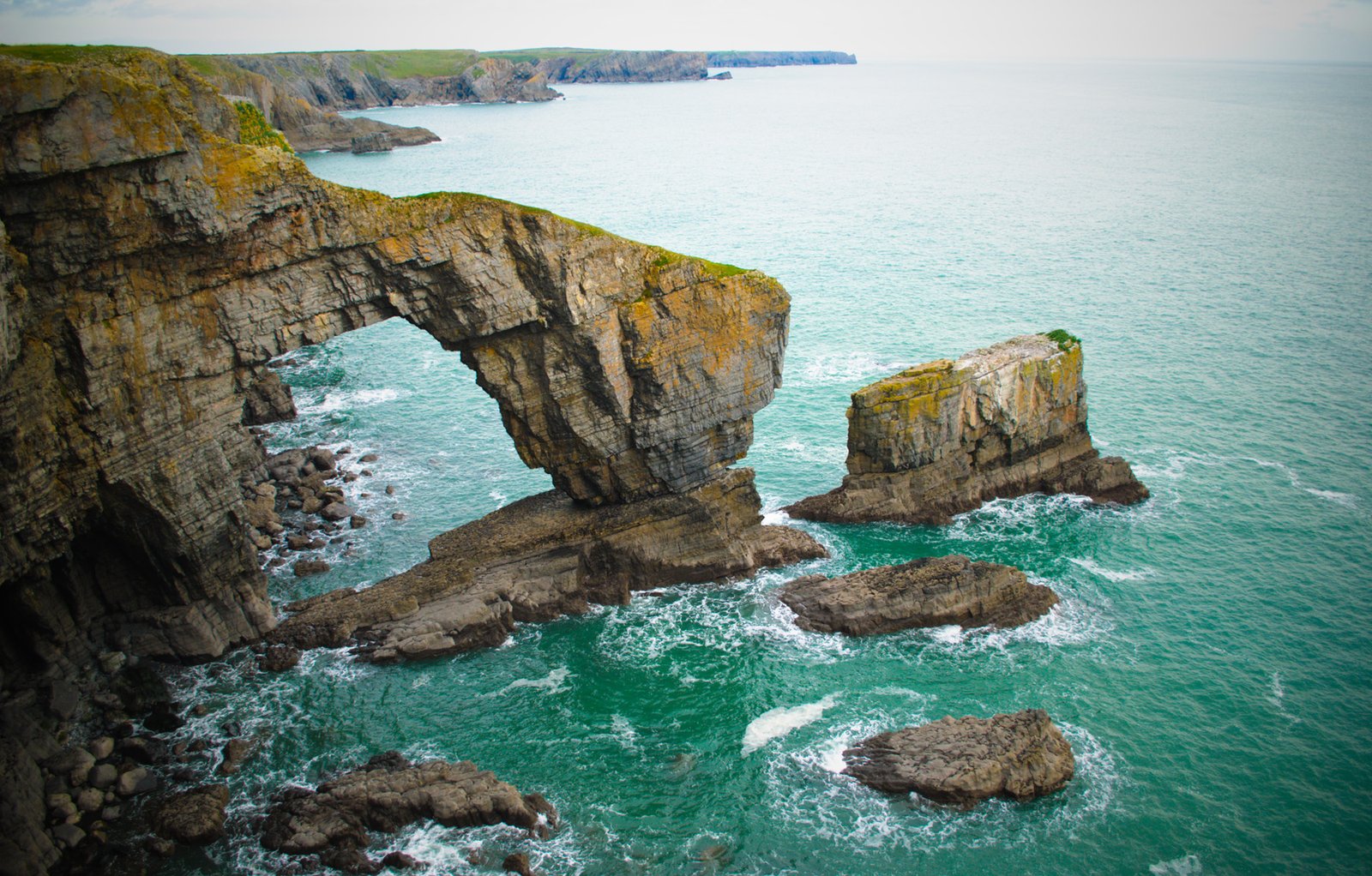
The only national park in the United Kingdom made up largely of coast: 420 kilometres of shoreline within 650 square miles, taking in the upper reaches of Milford Haven and the Preseli Mountains in the north. When designation was under consideration in 1947 the county’s rock-bound coastline was called the most spectacular of its many attractions, and the report singled out the northern stretch between Pen Caer and St David’s Head as one of the best pieces of coastal scenery in the British Isles. It was established in 1952, one of three Welsh national parks.
Ansehen
Lesen und planen
In der Nähe, über Grenzen hinweg
Im Umkreis von 60 km um diesen Ort, in jedem Land.