Ostend
The largest city on the Belgian coast
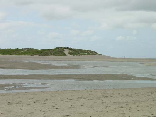
Foto von Gary Houston Ghouston 22:28, 20 May 2005 (UTC) auf Wikimedia Commons
Noch nicht auf Deutsch verfügbar. Angezeigt wird die Fassung auf Englisch.
Über Ostend
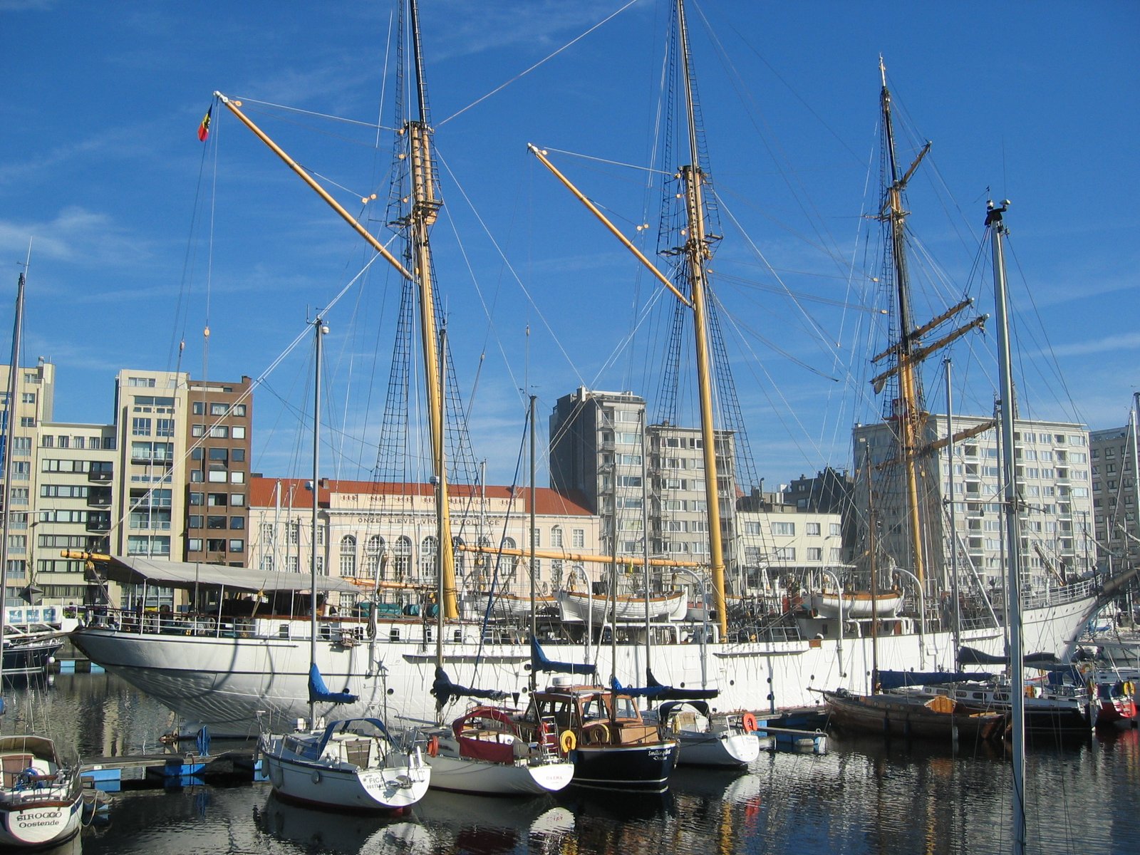
Ostend is the largest city on the Belgian coast, in West Flanders, taking in the boroughs of Mariakerke, Raversijde, Stene and Zandvoorde alongside the city proper. Its name means East End. It grew as a fishing port and then as a nineteenth-century seaside resort, and still works as both, a harbour and a promenade in the same town. The beach runs wide and flat, the seafront is level the whole way, and the tram along the coast makes it an easy base. Out of season the light off the North Sea is the reason to come.
Ansehen
Lesen und planen
In der Nähe, über Grenzen hinweg
Im Umkreis von 60 km um diesen Ort, in jedem Land.