Nuuksio National Park
Ice-age ravines thirty kilometres from the capital
Foto von en:user:Jah g auf Wikimedia Commons
Noch nicht auf Deutsch verfügbar. Angezeigt wird die Fassung auf Englisch.
Über Nuuksio National Park
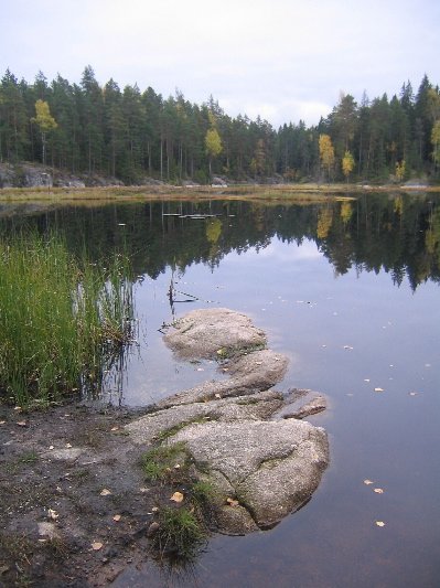
Less than thirty kilometres from downtown Helsinki and reachable by city bus, which is the whole point of it: forests, lakes and the ravines and rocky lichen-covered hills the last ice age left, starting almost at the edge of the capital. The park was established in 1994 across Espoo, Kirkkonummi and Vihti, rising to 110 metres at its highest. Eight marked trails run from 1.5 to seventeen kilometres, with thirty kilometres of bike trails and twenty-two for horses. The Siberian flying squirrel is the park’s emblem, and the density of them here is why.
Ansehen
Lesen und planen
In der Nähe, über Grenzen hinweg
Im Umkreis von 60 km um diesen Ort, in jedem Land.