Central Switzerland Alpine & high mountainWandern in den BergenScenic route
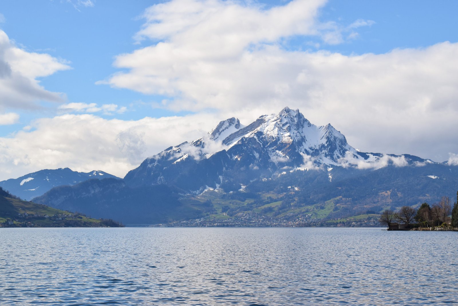
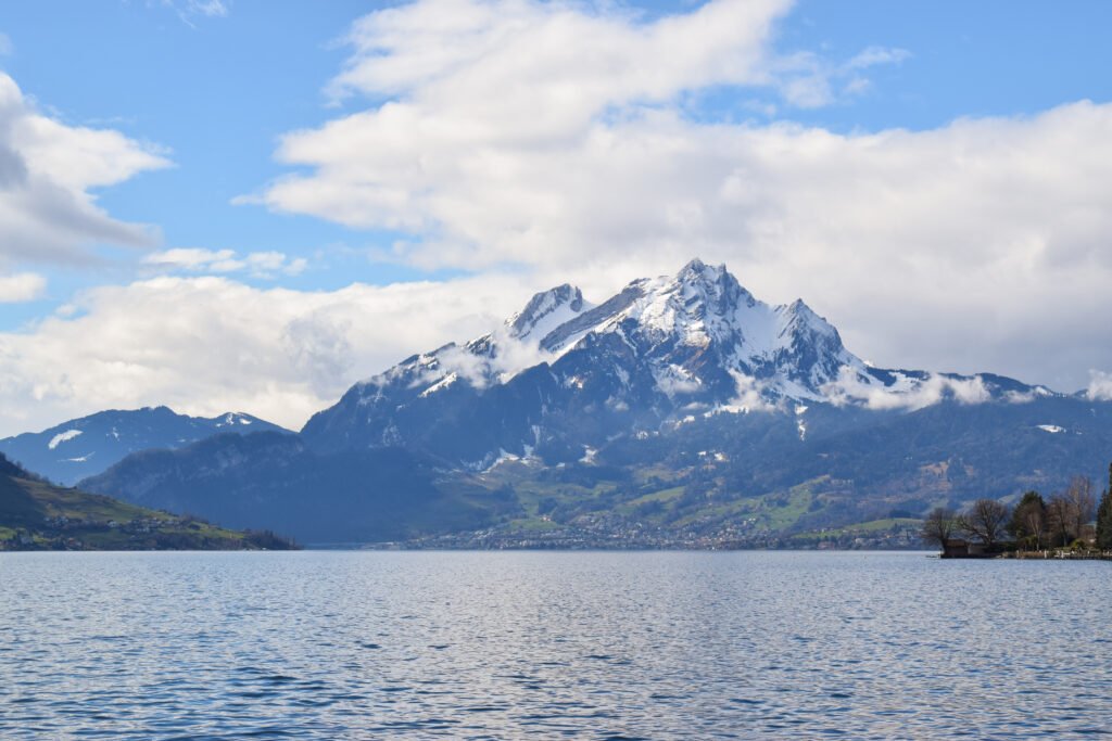
Mount Pilatus
The steepest cogwheel railway in the world
Foto von Liridon auf Wikimedia Commons
Noch nicht auf Deutsch verfügbar. Angezeigt wird die Fassung auf Englisch.
Über Mount Pilatus
A massif over Lucerne made of several peaks, the highest being the Tomlishorn at 2,128 metres, with Widderfeld, Matthorn, Klimsenhorn, Rosegg and Windegg around it, all of them needing proper Alpine equipment to approach. Jurisdiction over the mountain is split between three cantons, Obwalden, Nidwalden and Lucerne, with the main peaks sitting right on the Obwalden–Nidwalden line. The top is reached from Alpnachstad by the Pilatus Railway, the steepest cogwheel railway in the world.
Ansehen
Lesen und planen
In der Nähe, über Grenzen hinweg
Im Umkreis von 60 km um diesen Ort, in jedem Land.
Ruhiger in der Nähe
Weitere Orte anderer Art im Umkreis von 60 km.