Antwerp Kunst & MuseumKanal und WasserstraßeHistorische Stadt
Mechelen
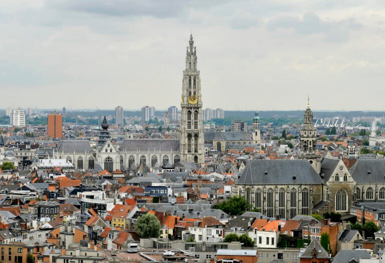
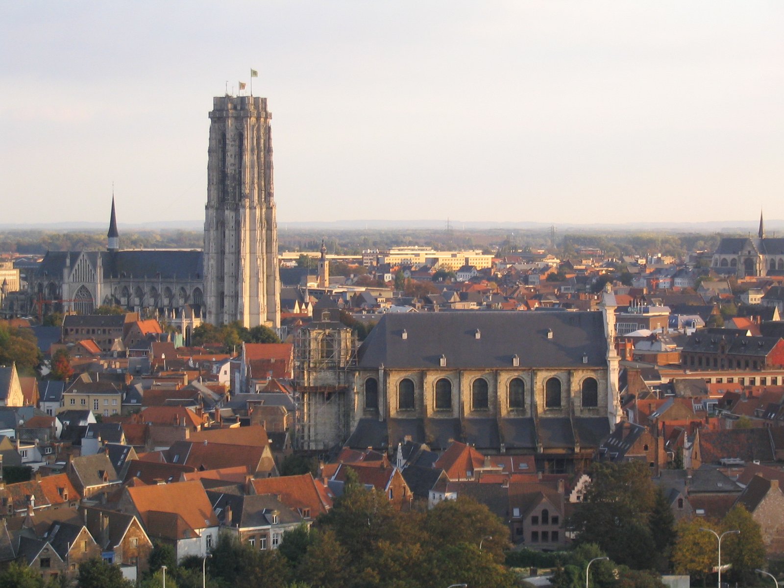
The city on the Dyle, between Brussels and Antwerp
Foto von Peter Meuris auf Wikimedia Commons
Noch nicht auf Deutsch verfügbar. Angezeigt wird die Fassung auf Englisch.
Über Mechelen
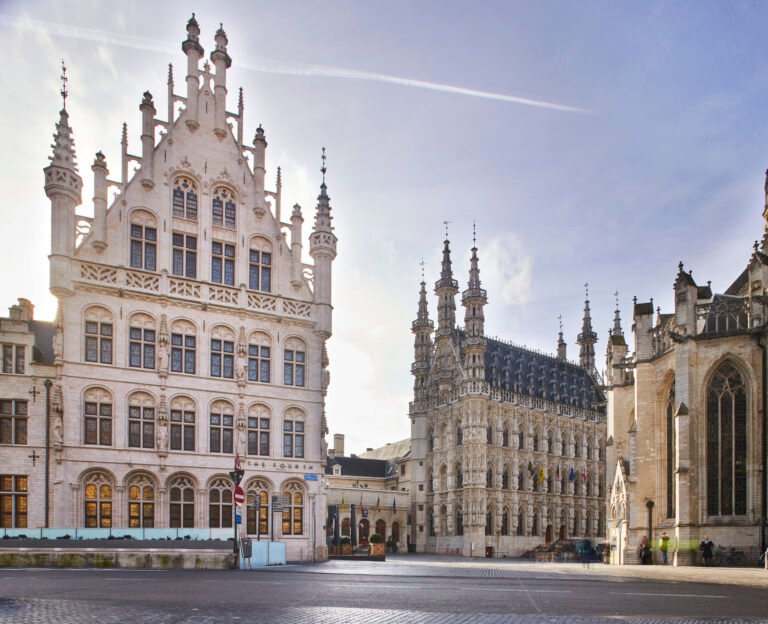
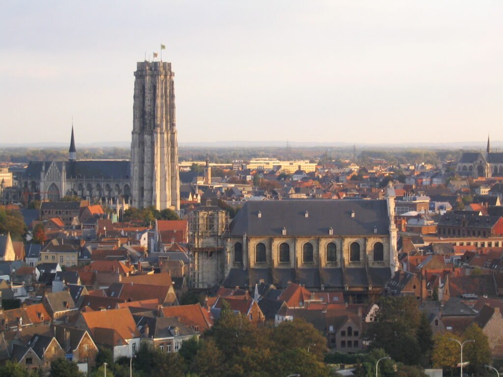
Mechelen lies on the Dyle, midway along the urban axis between Brussels and Antwerp, which is why it is known as the Dijlestad, the city on the Dyle. The municipality takes in the outlying villages of Walem, Heffen, Leest, Hombeek and Muizen along with the city proper. It spent centuries as a seat of church and court power and kept the architecture that came with it, but not the crowds its neighbours draw. The river runs through the centre, the streets are level, and the whole town can be crossed on foot in under half an hour.
Ansehen
Lesen und planen
In der Nähe, über Grenzen hinweg
Im Umkreis von 60 km um diesen Ort, in jedem Land.