Styria Alpine & high mountainWandern in den BergenScenic route
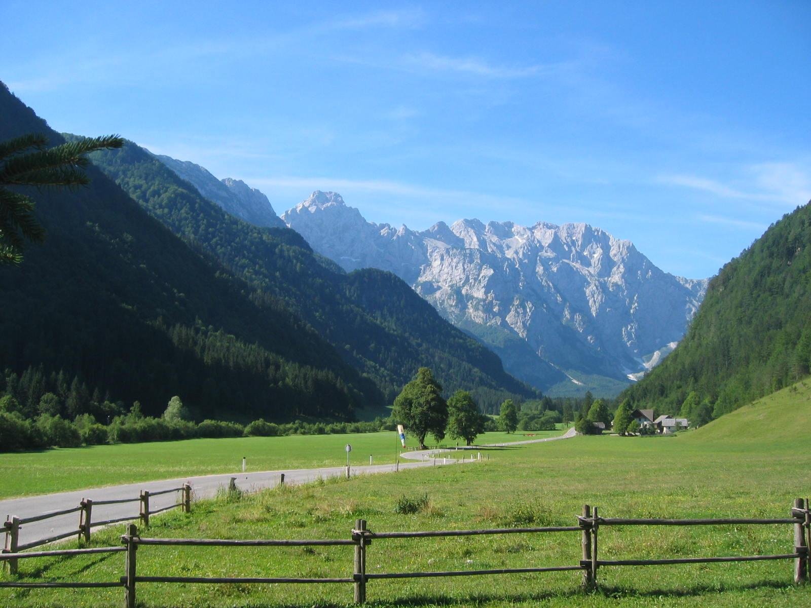
Logarska Dolina
Ringed by two-thousanders, 113 residents
Foto von Ziga auf Wikimedia Commons
Noch nicht auf Deutsch verfügbar. Angezeigt wird die Fassung auf Englisch.
Über Logarska Dolina
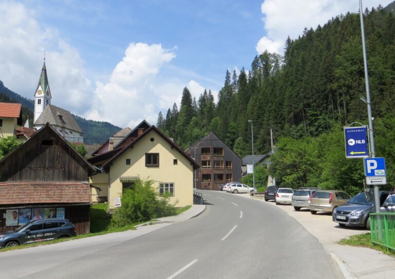
A settlement of 113 people in a valley ringed by the two-thousanders of the Kamnik–Savinja Alps, Krofička, Ojstrica, Planjava, Brana, Turska gora, Koroška Rinka and Mrzla Gora. Rinka Falls at its head is the source of the Savinja, one of the main rivers of the country. The village is protected as an immovable cultural monument of local significance. Its small church, dedicated to Christ the King, was built between 1930 and 1931, and there is an iron-rich spring under Mount Olševa.
Ansehen
Lesen und planen
In der Nähe, über Grenzen hinweg
Im Umkreis von 60 km um diesen Ort, in jedem Land.
Ruhiger in der Nähe
Weitere Orte anderer Art im Umkreis von 60 km.