Ostrobothnia Coastal & cliff walkingInsel & InselgruppeNationalpark
Kvarken Archipelago
Land rising ten millimetres a year
Foto von LPfi auf Wikimedia Commons
Noch nicht auf Deutsch verfügbar. Angezeigt wird die Fassung auf Englisch.
Über Kvarken Archipelago
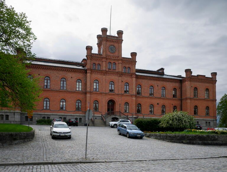
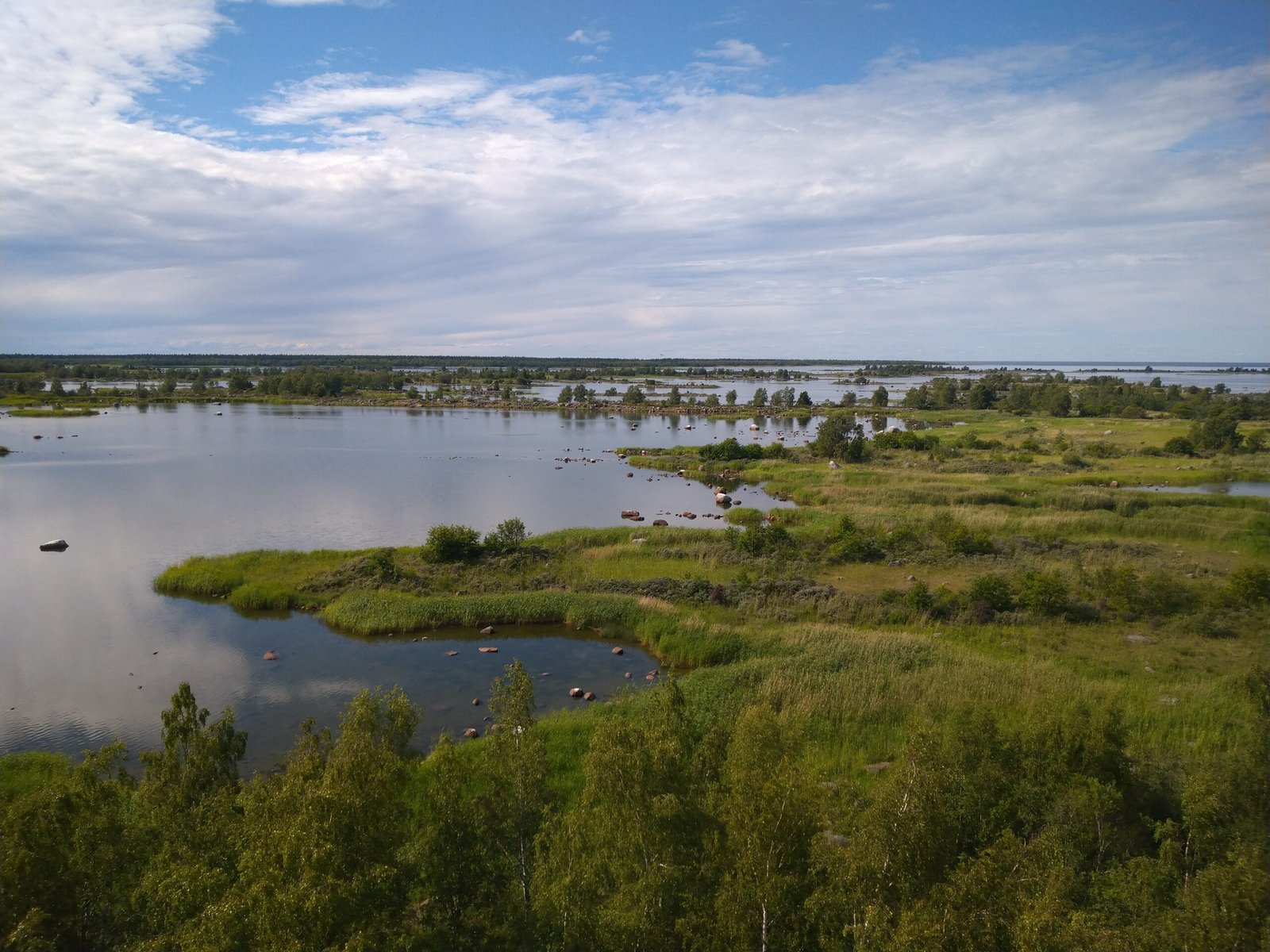
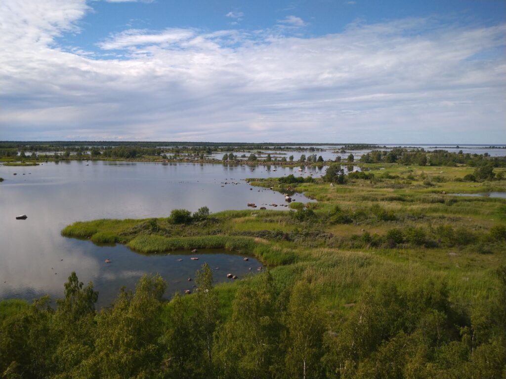
The narrow throat of the Gulf of Bothnia, eighty kilometres from the Swedish mainland to the Finnish but only twenty-five between the outermost islands, and just twenty-five metres deep. The land here is rising at almost ten millimetres a year, one of the fastest rates anywhere. On the Finnish side the archipelago runs to over 5,600 islands beyond Replot and Björkö. When the sea froze solid, mail was carried across on the ice from Sweden to Finland. The first successful swim across took three men twelve hours and two minutes, on 24 July 2018.
Ansehen
Lesen und planen
In der Nähe, über Grenzen hinweg
Im Umkreis von 60 km um diesen Ort, in jedem Land.