Krka River
Bursting from a cave mouth in heavy rain
Foto von Andrejj auf Wikimedia Commons
Noch nicht auf Deutsch verfügbar. Angezeigt wird die Fassung auf Englisch.
Über Krka River
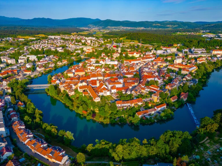
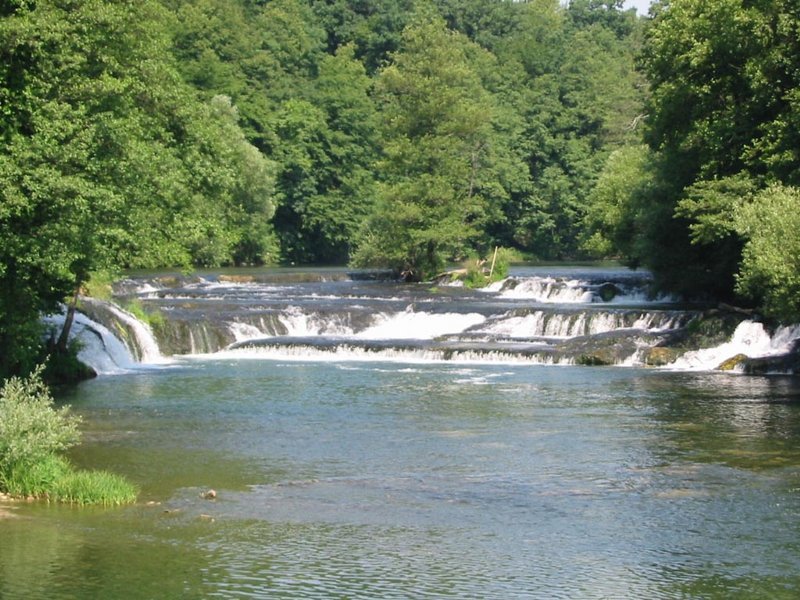
A river of 94.6 kilometres, the second longest running entirely within Slovenia after the Savinja, rising from a karst spring in a pocket valley below Krka Cave about twenty-five kilometres southeast of Ljubljana. In heavy rain the water bursts out of the cave’s main entrance and falls as a torrent over the steps in front of it. It passes Žužemberk, Dolenjske Toplice, Novo Mesto, Otočec Castle and Kostanjevica before joining the Sava at Brežice. The name was first written in 799 as Corca and is thought to be pre-Romance, possibly onomatopoeic.
Ansehen
Lesen und planen
In der Nähe, über Grenzen hinweg
Im Umkreis von 60 km um diesen Ort, in jedem Land.