Bohuslän Insel & InselgruppeCoastal & cliff walkingNationalpark
Kosterhavet National Park
Sweden's first marine national park
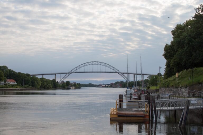
Foto von Petr Vodička auf Wikimedia Commons
Noch nicht auf Deutsch verfügbar. Angezeigt wird die Fassung auf Englisch.
Über Kosterhavet National Park
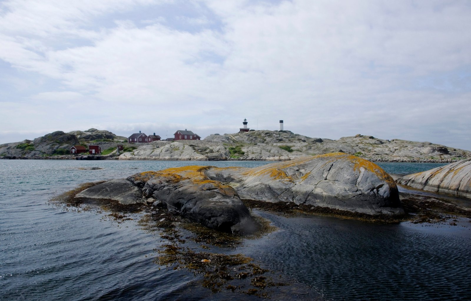
Kosterhavet National Park was inaugurated in September 2009 as the first marine national park in Sweden. Part of the Skagerrak, it lies in Strömstad and Tanum municipalities in Bohuslän, and consists of the sea and shores around the Koster Islands, the water itself rather than the land. The Kosterfjord running through it is 200 metres deep and stays cold, which is why the marine life here is unlike anything else in Swedish waters. The islands are reached by boat from Strömstad.
Ansehen
Lesen und planen
In der Nähe, über Grenzen hinweg
Im Umkreis von 60 km um diesen Ort, in jedem Land.
Ruhiger in der Nähe
Weitere Orte anderer Art im Umkreis von 60 km.