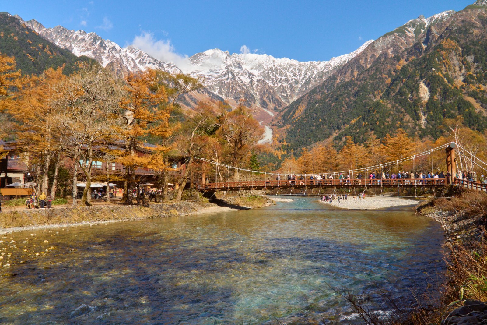
Kamikōchi
Eighteen kilometres under the Northern Alps
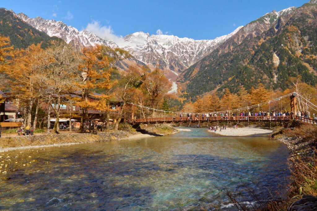
Foto von lumoplank auf Wikimedia Commons
Noch nicht auf Deutsch verfügbar. Angezeigt wird die Fassung auf Englisch.
Über Kamikōchi
A remote highland valley in the Hida Mountains, the Northern Alps of the Japanese Alps, in the west of Nagano Prefecture, kept in its natural state inside Chūbu-Sangaku National Park. It runs about 18 kilometres, with a floor between roughly 1,400 metres at the south end and 1,600 at the northern tip, and the mountains around it reach 3,190. Mount Hotaka closes the northern end and Mount Yake, an active volcano, the southern. It is one of Japan’s National Cultural Assets and appears on the lists of Special Natural Monuments and Special Places of Scenic Beauty; it is sometimes called the Japanese Yosemite Valley, though it is considerably smaller.
Ansehen