Jostedalsbreen National Park
The largest glacier on the European mainland
Foto von Wikimedia Commons contributor auf Wikimedia Commons
Noch nicht auf Deutsch verfügbar. Angezeigt wird die Fassung auf Englisch.
Über Jostedalsbreen National Park
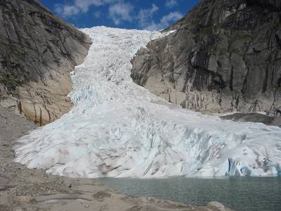
The largest glacier on the European mainland, and a park built around it: 1,310 square kilometres established by royal decree in 1991 and enlarged in 1998, with roughly 800 of those square kilometres under ice. Lodalskåpa is the highest peak at 2,083 metres; the ice itself reaches 2,018 metres at Brenibba and comes down to 350. It has been retreating, and the retreat has uncovered its own history. The ruins of farms the glacier overran in 1750 are visible again. Three visitor centres explain it, at Jostedalen, Oppstryn and Fjærland.
Ansehen
Lesen und planen
In der Nähe, über Grenzen hinweg
Im Umkreis von 60 km um diesen Ort, in jedem Land.