Hoge Kempen National Park
The first national park in Flanders
Foto von KB72 auf Wikimedia Commons
Noch nicht auf Deutsch verfügbar. Angezeigt wird die Fassung auf Englisch.
Über Hoge Kempen National Park
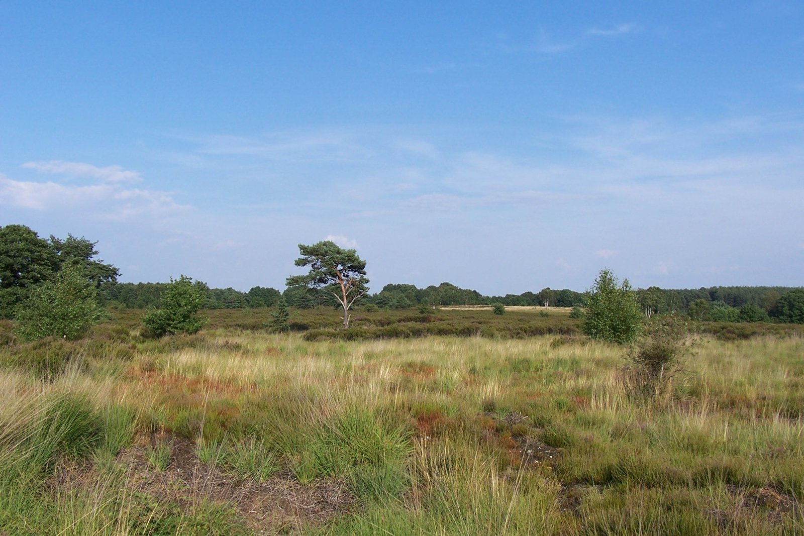
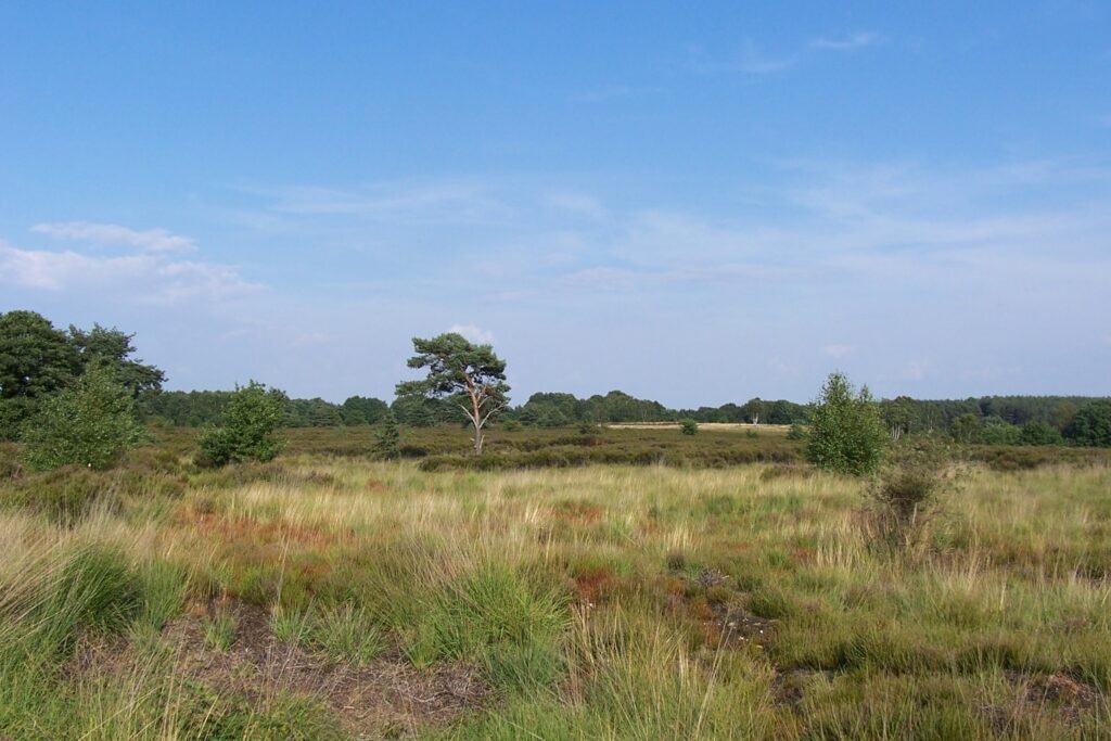
Hoge Kempen was the first national park in Flanders, in the east of Limburg province between Genk and the valley of the Meuse. It sits on the Campine, on ground high enough to form the watershed between the Meuse and the low-lying basin of the Demer that covers most of Belgian Limburg. Pine woodland alternates with open heath and old gravel workings turned to water. The elevation is modest but the relief is real by Flemish standards, and the network of marked walking and cycling routes is dense enough to spend a full day inside the park without repeating ground.
Ansehen
Lesen und planen
In der Nähe, über Grenzen hinweg
Im Umkreis von 60 km um diesen Ort, in jedem Land.
Ruhiger in der Nähe
Weitere Orte anderer Art im Umkreis von 60 km.