Höfn
A harbour town under Europe's largest ice cap
Foto von Holger Uwe Schmitt auf Wikimedia Commons
Noch nicht auf Deutsch verfügbar. Angezeigt wird die Fassung auf Englisch.
Über Höfn
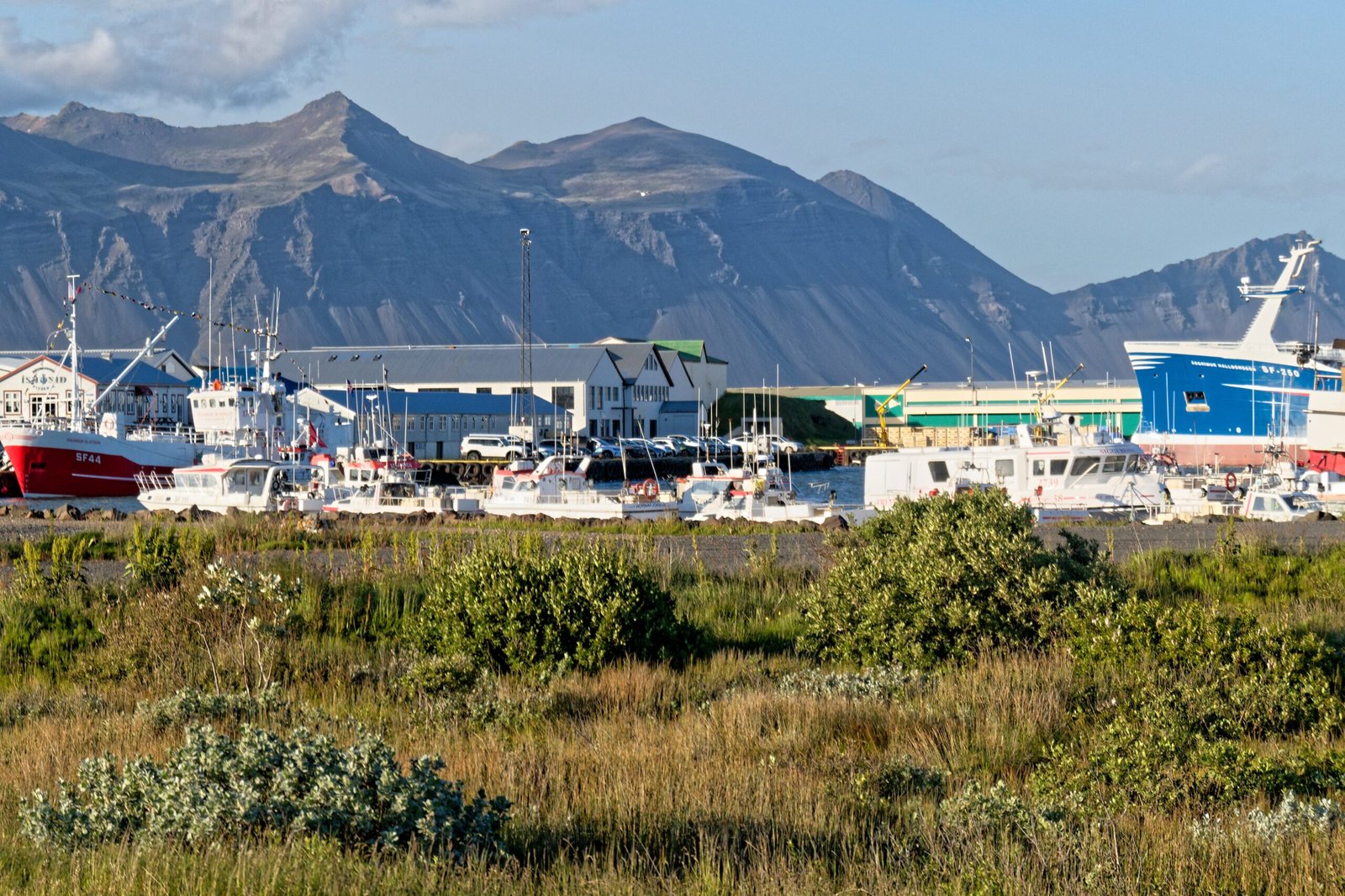
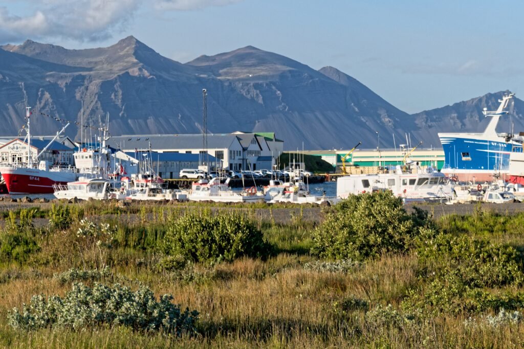
A fishing port whose name simply means harbour, standing on a peninsula with the sea on three sides and long beaches running southeast, where shoals and glacial rivers keep shifting the lagoons and sand reefs about. Vatnajökull fills the view inland. The merchant Ottó Tuliníus founded the place in 1897 by moving a trading post established in 1861. Small islands lie east of the town, Mikley the largest. The headland of Ingólfshöfði, seventy-six metres high, stands eighty-five kilometres off in a straight line, with skuas, guillemots, fulmars and puffins on it.
Ansehen
Lesen und planen
In der Nähe, über Grenzen hinweg
Im Umkreis von 60 km um diesen Ort, in jedem Land.