Hammershus
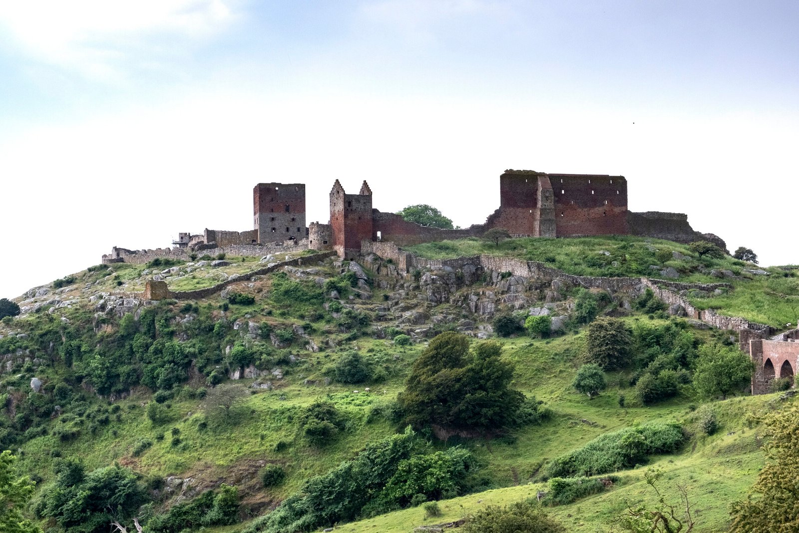
Scandinavia's largest medieval fortification
Foto von Johan Wessman / News Oresund auf Wikimedia Commons
Noch nicht auf Deutsch verfügbar. Angezeigt wird die Fassung auf Englisch.
Über Hammershus
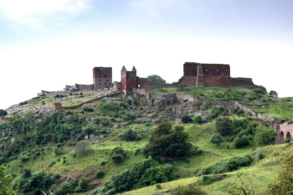
Scandinavia’s largest medieval fortification, raised in the thirteenth century on the northern tip of Bornholm, seventy-four metres above the Baltic with a perimeter wall running 750 metres around the grounds. Kings and archbishops fought over it repeatedly. It was stormed in 1259, 1265, 1319 and 1325, taken by Christian II in 1521 and by Lübeck the same year, and captured by Swedish forces under Wrangel in 1645. Corfitz Ulfeldt and Leonora Christina were imprisoned here in 1660. Abandoned as a stronghold in 1743 and partly demolished around 1750, the ruin has been maintained since the 1800s.
Ansehen
Lesen und planen
In der Nähe, über Grenzen hinweg
Im Umkreis von 60 km um diesen Ort, in jedem Land.