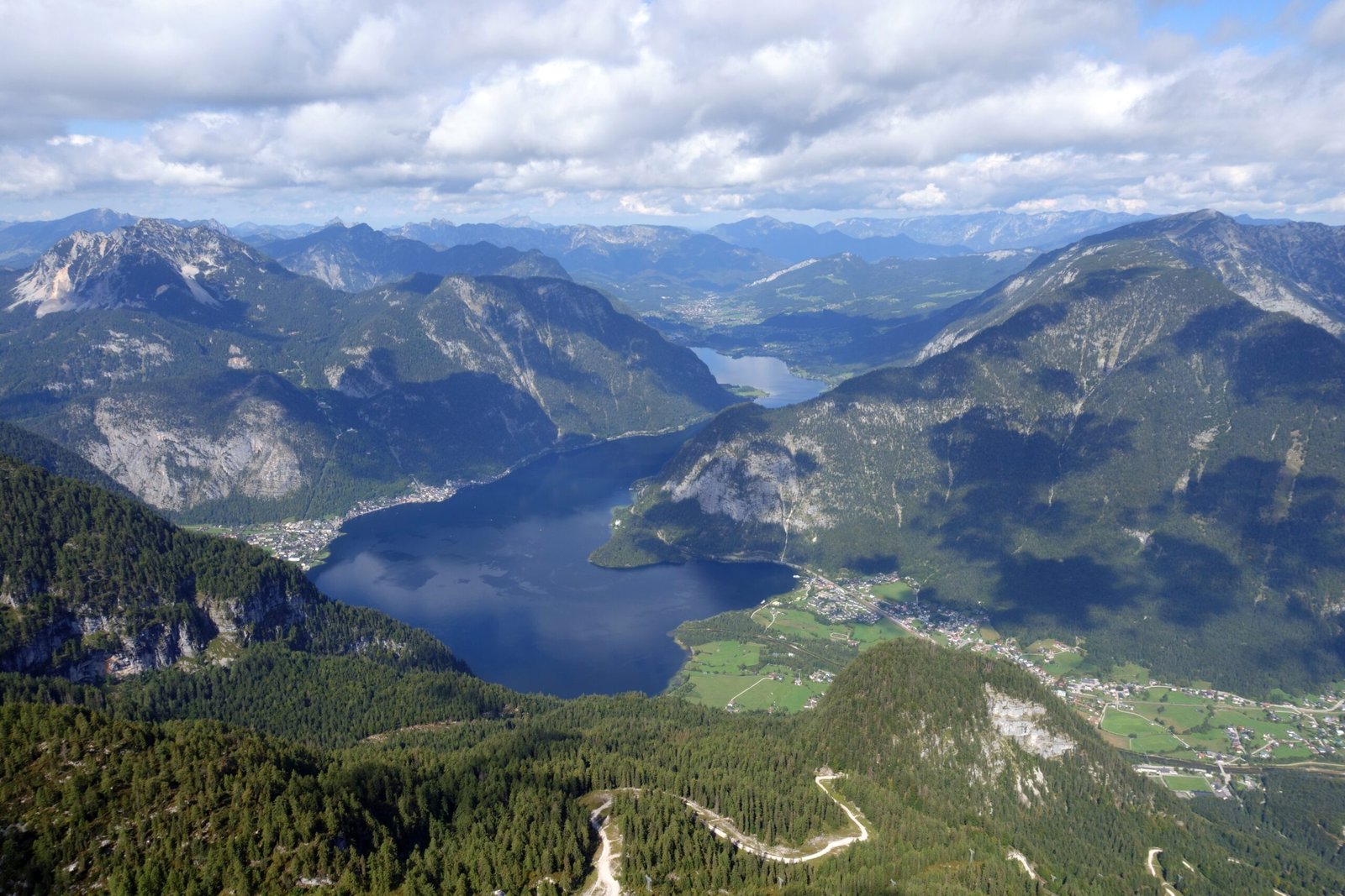
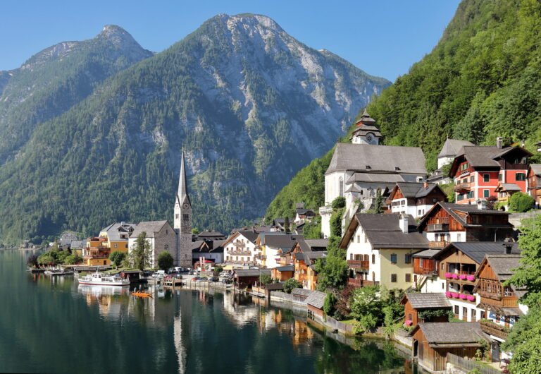
Hallstätter See
The oldest working pipeline in the world
Foto von Tigerente auf Wikimedia Commons
Noch nicht auf Deutsch verfügbar. Angezeigt wird die Fassung auf Englisch.
Über Hallstätter See
A lake of about 8.55 square kilometres and 125 metres deep, named for the town on its western shore, the starting point of the oldest still-working industrial pipeline in the world, which has carried brine to Bad Ischl since 1596 and on to Ebensee. From about 1970 the only ship-mail line in Austria crossed this water; in winters when the western road was blocked by snow or avalanche risk and the ice grew thick enough, mail and passengers went over by sled. The fixed exit weir, a 500-year-old protected monument, flooded houses in Hallstatt in June 2013.
Ansehen
Lesen und planen
In der Nähe, über Grenzen hinweg
Im Umkreis von 60 km um diesen Ort, in jedem Land.

Ruhiger in der Nähe
Weitere Orte anderer Art im Umkreis von 60 km.