Fribourg & Neuchâtel Barrierefreies WandernSchloss und LandhausGastronomy
Gruyères
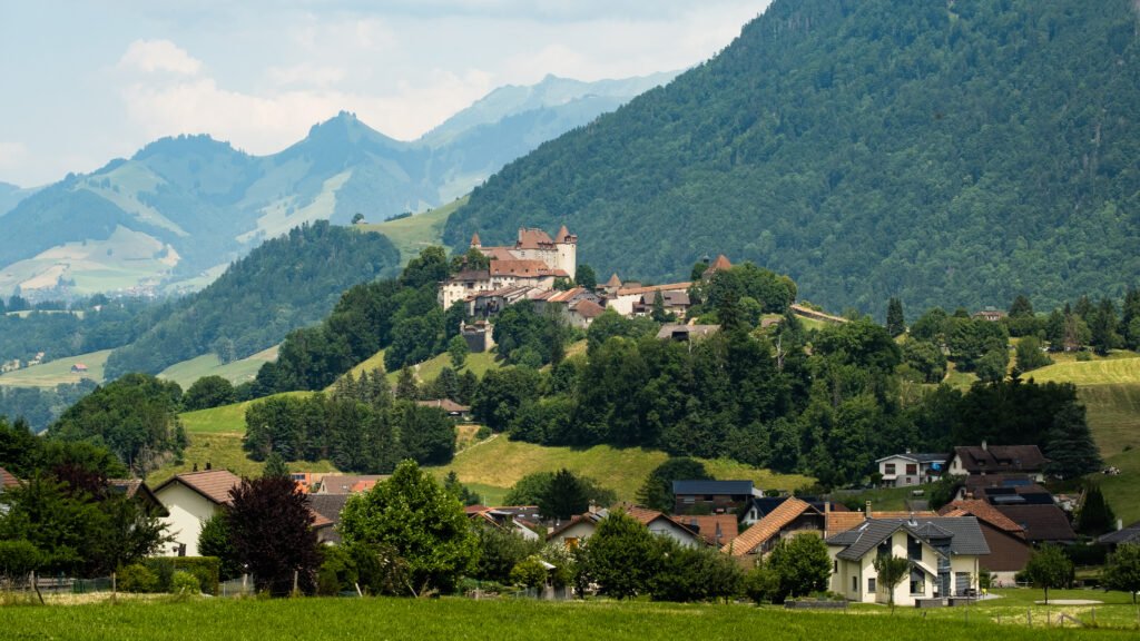
A town on a hill, and the cheese it named
Foto von Christian David auf Wikimedia Commons
Noch nicht auf Deutsch verfügbar. Angezeigt wird die Fassung auf Englisch.
Über Gruyères
A medieval town on top of an eighty-two-metre hill above the Saane valley and the Lake of Gruyère, and the place that gives Gruyère cheese its name. The municipality covers 28.4 square kilometres, half of it forest and about forty per cent agricultural, of that farmland, a fifth is alpine pasture, which is the arrangement the cheese depends on. Only about five and a half per cent of the ground is built on at all. The town sits in the upper valley of the Saane, in the Fribourg canton.
Ansehen
Lesen und planen
In der Nähe, über Grenzen hinweg
Im Umkreis von 60 km um diesen Ort, in jedem Land.