Azores Wald und LandgutSpa & thermalVolcanic landscape
Furnas
A valley of fumaroles and hot springs on São Miguel
Foto von Samuel Monteiro Domingues auf Wikimedia Commons
Noch nicht auf Deutsch verfügbar. Angezeigt wird die Fassung auf Englisch.
Über Furnas
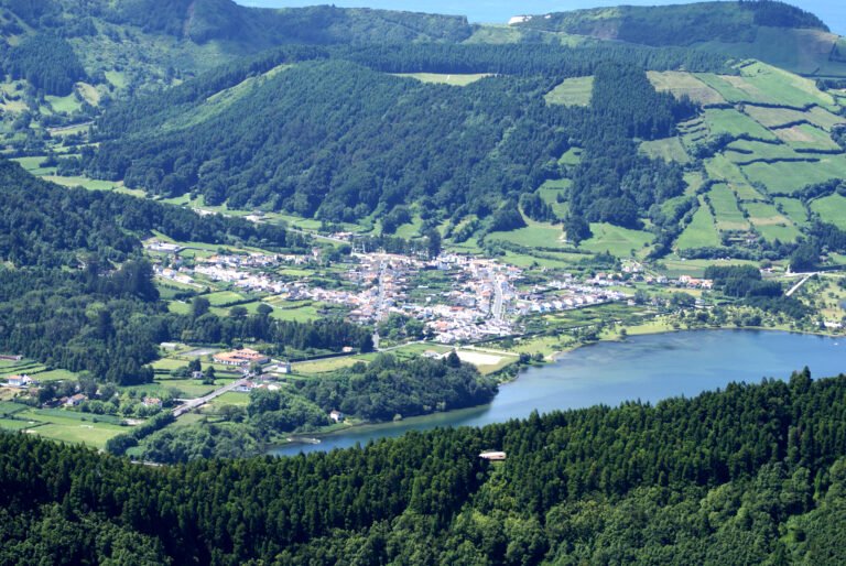
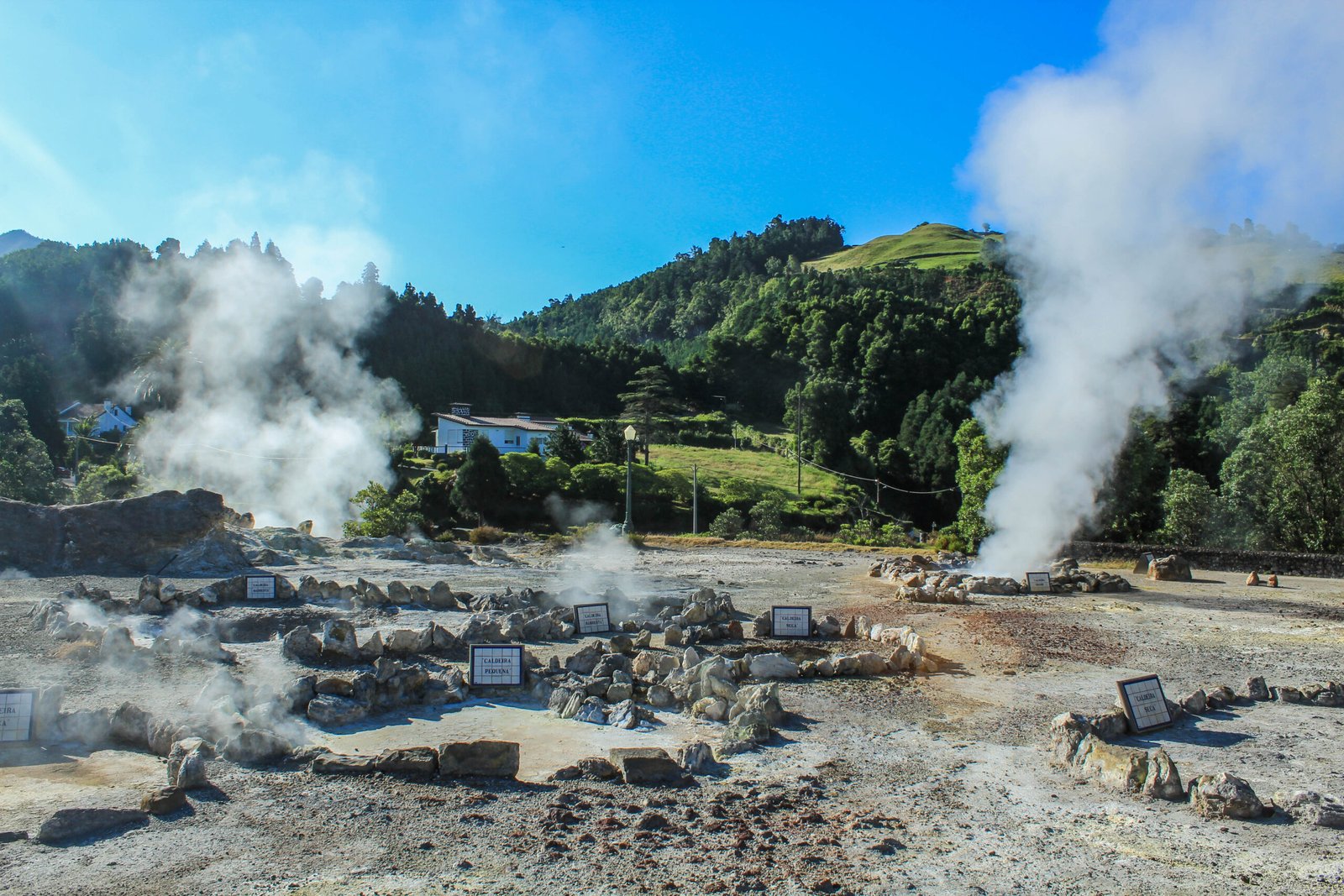
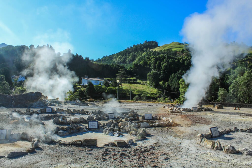
Furnas is a civil parish in the municipality of Povoação on São Miguel in the Azores, with 1,439 people in 2011 across 34 square kilometres, one of the largest parishes on the island and in the archipelago. It lies east of Lagoa and Ponta Delgada and south-east of Ribeira Grande. The valley sits in an active caldera, and the ground shows it: fumaroles and hot springs steam beside the lake, and the local stew is lowered into the earth in pots and left to cook in volcanic heat.
Ansehen
Lesen und planen
In der Nähe, über Grenzen hinweg
Im Umkreis von 60 km um diesen Ort, in jedem Land.