Femundsmarka National Park
Canoe country stretching east to Sweden
Foto von Mahlum auf Wikimedia Commons
Noch nicht auf Deutsch verfügbar. Angezeigt wird die Fassung auf Englisch.
Über Femundsmarka National Park
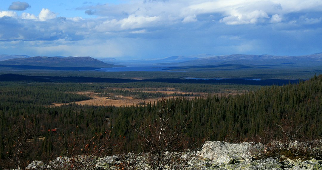
Marsh, lake and sparse craggy pine and birch, running east from Femunden, Norway’s second largest natural lake, eastwards to Sweden, protected as a park since 1971. It is canoe country as much as walking country. Falcons were taken from here for centuries to supply falconry across Europe and Asia, and the trade left its mark on the map: several places are still called Falkfangerhøgda, the falcon hunters‘ height. Wild reindeer graze the heights, and a herd of about thirty musk oxen, split off from the Dovrefjell animals, summers along the Røa and Mugga rivers.
Ansehen
Lesen und planen
In der Nähe, über Grenzen hinweg
Im Umkreis von 60 km um diesen Ort, in jedem Land.