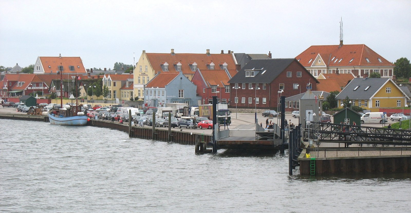
Fanø
Sixteen kilometres of beach you can drive on
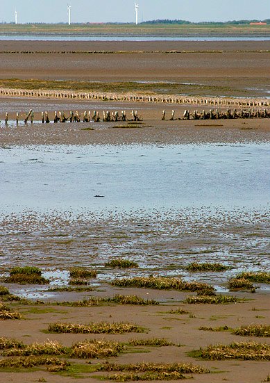
Foto von Hubertus45 auf Wikimedia Commons
Noch nicht auf Deutsch verfügbar. Angezeigt wird die Fassung auf Englisch.
Über Fanø
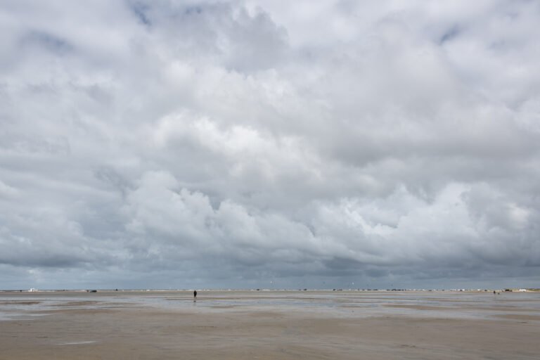
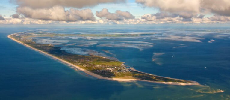
The northernmost of the Danish Wadden Sea islands, sixteen kilometres long and three wide, five kilometres off the mainland and twelve minutes by ferry from Esbjerg. The whole western shore is one continuous beach of fine white sand, backed by heath and pines kept low by the westerly wind, with the vast sandbank of Søren Jessens Sand at the northwestern corner, named for a captain whose ship stranded there in 1712. The beach is long, straight and firm enough that it hosted motorcycle and car races from 1919 until a fatal accident in 1923, and you can still drive along it.
Ansehen
Lesen und planen
In der Nähe, über Grenzen hinweg
Im Umkreis von 60 km um diesen Ort, in jedem Land.