Provence-Alpes-Côte d'Azur Alpine & high mountainWandern in den BergenNationalpark
Écrins National Park
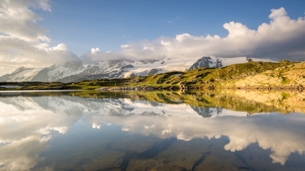
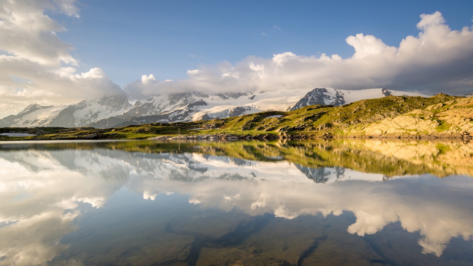
Glaciers, and 4,102 metres at the Barre des Écrins
Foto von Nuno Alves auf Wikimedia Commons
Noch nicht auf Deutsch verfügbar. Angezeigt wird die Fassung auf Englisch.
Über Écrins National Park
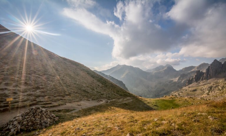
Écrins National Park covers the Dauphiné Alps in south-eastern France, south of Grenoble and north of Gap, shared between the departments of Isère and Hautes-Alpes. It is one of eight national parks in France. This is high, serious mountain country (glaciers, long approaches and ground rising to 4,102 metres at the Barre des Écrins) and the walking reflects that: the valley routes are manageable, the traverses are not. Refuges rather than villages are the network up high. The season is short, and even in high summer the weather can close in without much warning.
Ansehen