Bornholm
The sunshine island, and the rock island
Foto von Lilly M real name Małgorzata Miłaszewska auf Wikimedia Commons
Noch nicht auf Deutsch verfügbar. Angezeigt wird die Fassung auf Englisch.
Über Bornholm
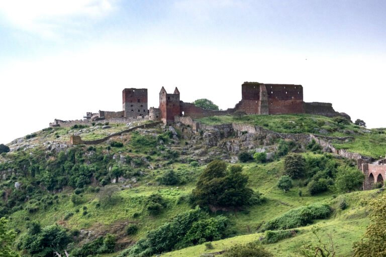
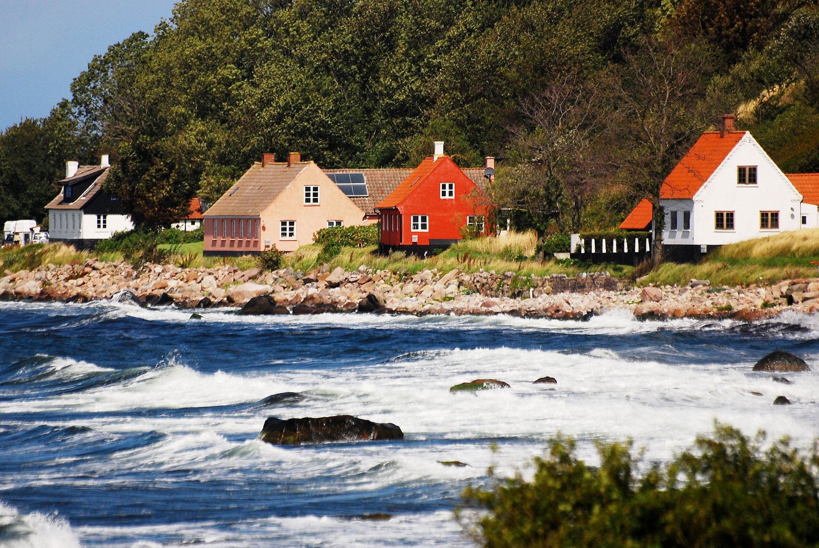
Danes call it solskinsøen, the sunshine island, and klippeøen, the rock island, and both names are earned, granite everywhere except along the southern coast, storing summer heat well into October, warm enough that a local fig variety grows here. The topography is unlike the rest of the country: dramatic rock in the north falling away through pine and deciduous forest to farmland and then sandy beaches in the south. Ceded to Sweden in 1658 and won back by a local revolt in 1660, the island keeps many of Denmark’s round churches across its 584 square kilometres.
Ansehen
Lesen und planen
In der Nähe, über Grenzen hinweg
Im Umkreis von 60 km um diesen Ort, in jedem Land.