Baden-Württemberg RadrouteWald und LandgutHeideland und Moor
Black Forest
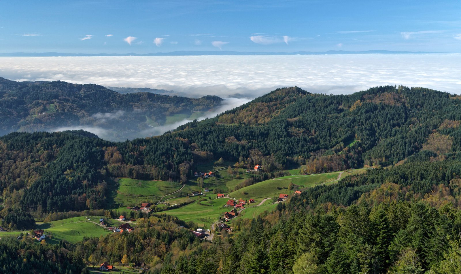
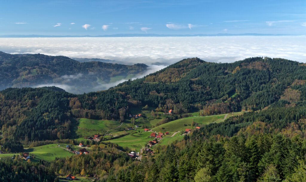
160 kilometres of forested range, and the source of the Danube
Foto von MWolf89 auf Wikimedia Commons
Noch nicht auf Deutsch verfügbar. Angezeigt wird die Fassung auf Englisch.
Über Black Forest
The Black Forest is a large forested mountain range in Baden-Württemberg in south-west Germany, bounded by the Rhine valley to the west and south and close to the borders with France and Switzerland. It is the source of both the Danube and the Neckar. Roughly oblong, it runs 160 kilometres long by up to 50 wide, covering about 6,009 square kilometres. Dense spruce gives it the name and the dark reputation, but the interior is a mix of high open moor, deep valleys and long-distance paths that cross the whole range.
Ansehen
Lesen und planen
In der Nähe, über Grenzen hinweg
Im Umkreis von 60 km um diesen Ort, in jedem Land.