Graubünden Alpine & high mountainGlacier & iceScenic route
Bernina Railway
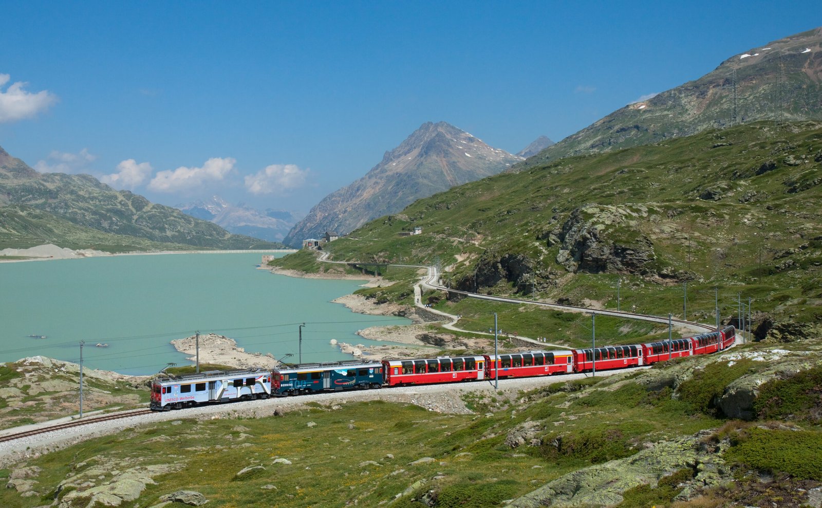
The highest railway crossing in Europe
Foto von Kabelleger / David Gubler auf Wikimedia Commons
Noch nicht auf Deutsch verfügbar. Angezeigt wird die Fassung auf Englisch.
Über Bernina Railway
A single-track metre-gauge line linking St. Moritz with Tirano in Italy over the Bernina Pass, reaching 2,253 metres, the highest railway crossing in Europe and the highest adhesion railway on the continent. With gradients up to 7 per cent it is also among the steepest adhesion railways in the world, and it drops 1,824 metres between the pass and Tirano, in sight of glaciers most of the way. UNESCO listed it with the Albula line in July 2008 as a cross-border Swiss-Italian heritage site. The Bernina Express runs on it.
Ansehen
Lesen und planen
In der Nähe, über Grenzen hinweg
Im Umkreis von 60 km um diesen Ort, in jedem Land.