Belfast
Linen, and a quarter of UK shipping tonnage
Foto von Davidw1406 auf Wikimedia Commons
Noch nicht auf Deutsch verfügbar. Angezeigt wird die Fassung auf Englisch.
Über Belfast
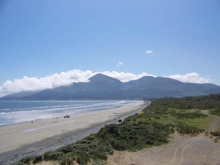
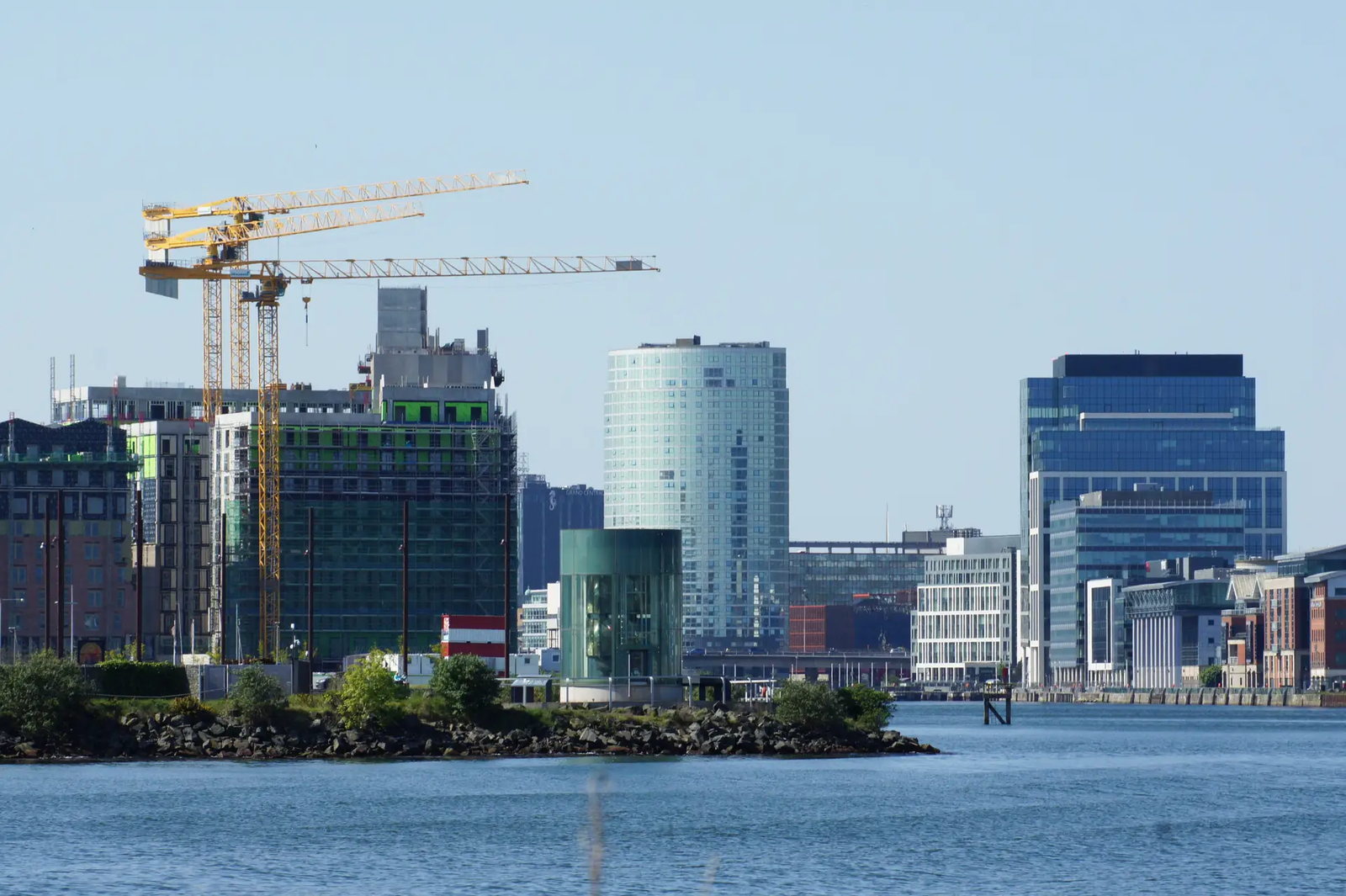
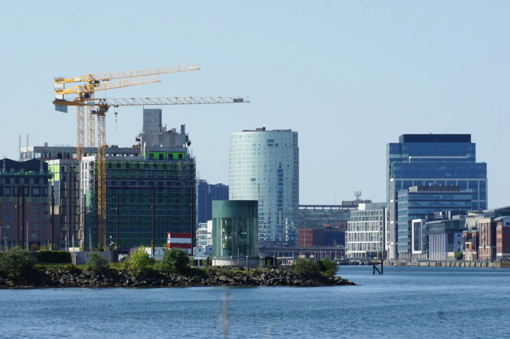
Chartered as an English settlement in 1613, but grown by an influx of Scottish Presbyterians whose descendants‘ disaffection with the Anglican establishment fed into the rebellion of 1798 and the union that followed in 1801. British capital and markets did the rest: by the time it was granted city status in 1888 this was the largest centre of linen manufacture in the world, and by the 1900s its shipyards were building up to a quarter of all United Kingdom tonnage. It stands on the Lagan, reaching the open sea through Belfast Lough and the North Channel.
Ansehen
Lesen und planen
In der Nähe, über Grenzen hinweg
Im Umkreis von 60 km um diesen Ort, in jedem Land.