Arlberg
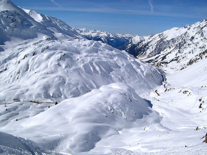
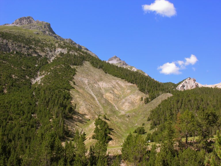
The mountain Vorarlberg is named for
Foto von Wikimedia Commons contributor auf Wikimedia Commons
Noch nicht auf Deutsch verfügbar. Angezeigt wird die Fassung auf Englisch.
Über Arlberg
A mountain pass between Tyrol and Vorarlberg, connecting the Klostertal in the west with the Stanzer valley in the east, and the mountain from which Vorarlberg takes its name, the land before the Arl. With the Flexenpass it borders three groups: the Verwall to the south, the Lechquellen mountains northwest, the Lechtal Alps northeast. The Valluga, highest of the Arlberg, and the Trittkopf dominate the pass, and four communities meet on it. The watershed between the Rhine and the Danube runs across these summits. Lech, Zürs, Stuben, St. Christoph and St. Anton are all on it.
Ansehen
Lesen und planen
In der Nähe, über Grenzen hinweg
Im Umkreis von 60 km um diesen Ort, in jedem Land.

Ruhiger in der Nähe
Weitere Orte anderer Art im Umkreis von 60 km.