Arashiyama
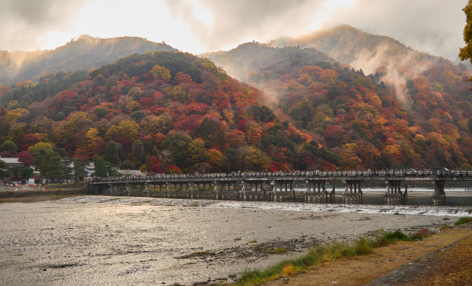
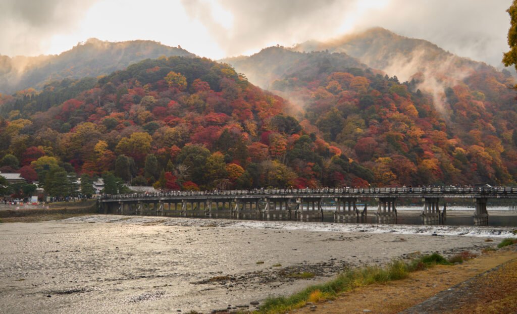
Storm Mountain, across the Ōi River
Foto von lumoplank auf Wikimedia Commons
Noch nicht auf Deutsch verfügbar. Angezeigt wird die Fassung auf Englisch.
Über Arashiyama
A district on the western outskirts of Kyoto, which takes its name, Storm Mountain, from the mountain across the Ōi River that stands behind it. The whole district is a nationally designated historic site and place of scenic beauty. The bamboo grove is the image people carry away, but the Moon Crossing Bridge is the other one, known for the cherry blossom and autumn colour on the slopes above it. Tenryū-ji, the main temple of one of the fifteen branches of the Rinzai school of Zen, stands here, and more than 170 wild monkeys live in the Iwatayama Monkey Park on the hillside.
Ansehen
Lesen und planen
In der Nähe, über Grenzen hinweg
Im Umkreis von 60 km um diesen Ort, in jedem Land.