Occitanie Cycling routeGorge & canyonHill walking
Gorges du Tarn
Fifty-three kilometres of canyon between the causses
Photograph by Jean-Pol GRANDMONT on Wikimedia Commons
About Gorges du Tarn
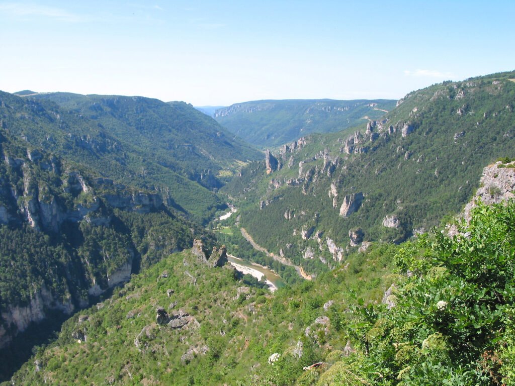
The Gorges du Tarn is a canyon cut by the river Tarn between the Causse Méjean and the Causse de Sauveterre in southern France. It runs about 53 kilometres from the village of Quézac down to Le Rozier, mainly in Lozère with part of it in Aveyron, and is between 400 and 600 metres deep. The road follows the water the whole way, which makes it one of the great drives in France, but the villages wedged into the bends, and the paths up onto the causse above, are what reward stopping. Canoeing the river is the other way to see it.
Watch
Read and plan
Nearby, across borders
Within 60 km as the crow flies, in any country.