Namur Fortress & military heritageHistoric cityRiver valley
Citadel of Namur
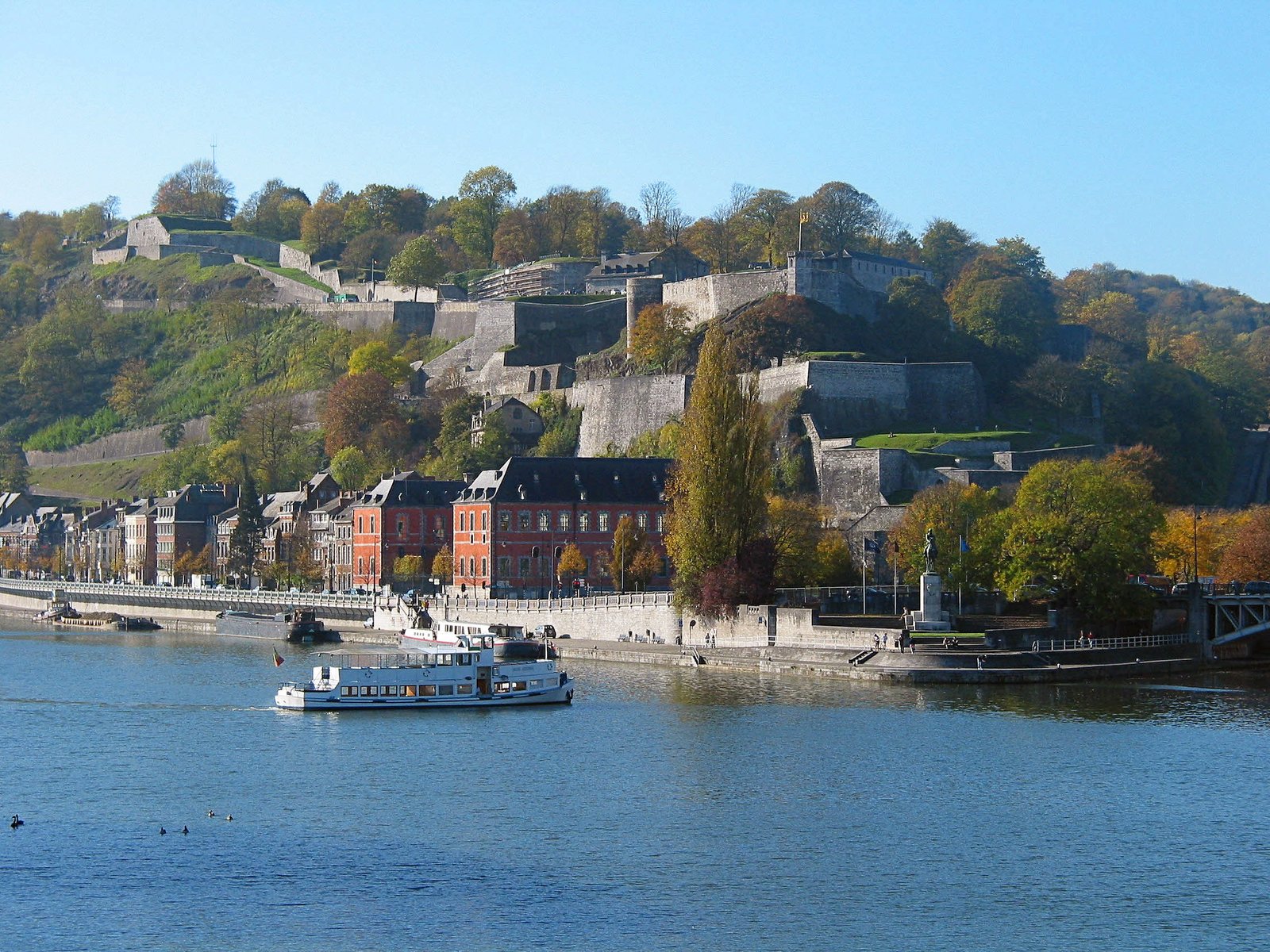
A fortress above the meeting of the Sambre and Meuse
Photograph by Jean-Pol GRANDMONT on Wikimedia Commons
About Citadel of Namur
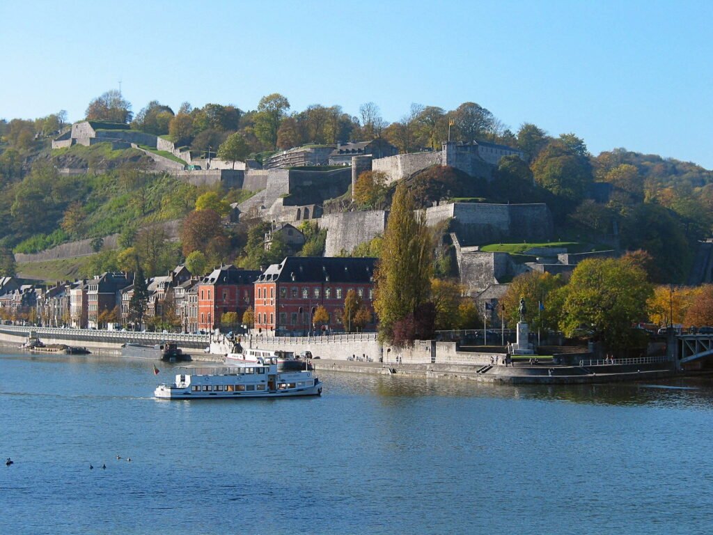
The Citadel of Namur stands above the confluence of the Sambre and the Meuse, in the Walloon capital. There has been a fortress on the rock since at least 937; the present shape was designed by Menno van Coehoorn and improved by Vauban after the siege of 1692, and it is classified as a Wallonia Major Heritage site. Its highest point is 190 metres. Together with Dinant, Huy and Liège it forms the chain known as the Meuse Citadels. The climb is worth taking slowly, the ramparts open onto both rivers at once, and the Sambre and the Meuse read as a single landscape from the top.
Watch
Read and plan
Nearby, across borders
Within 60 km as the crow flies, in any country.