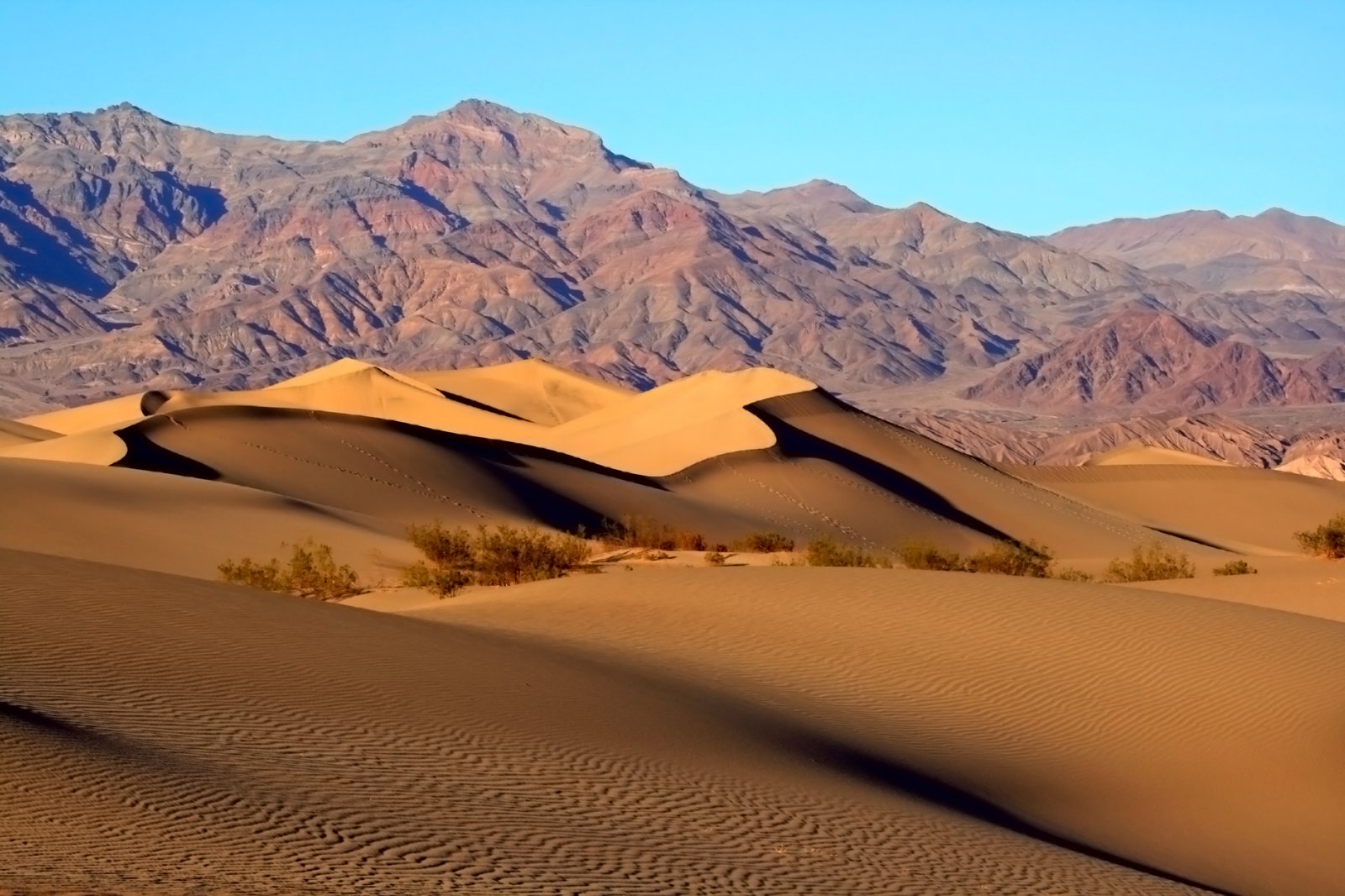
Death Valley National Park
Badwater Basin, 282 feet below sea level
Photograph by Brocken Inaglory on Wikimedia Commons
About Death Valley National Park
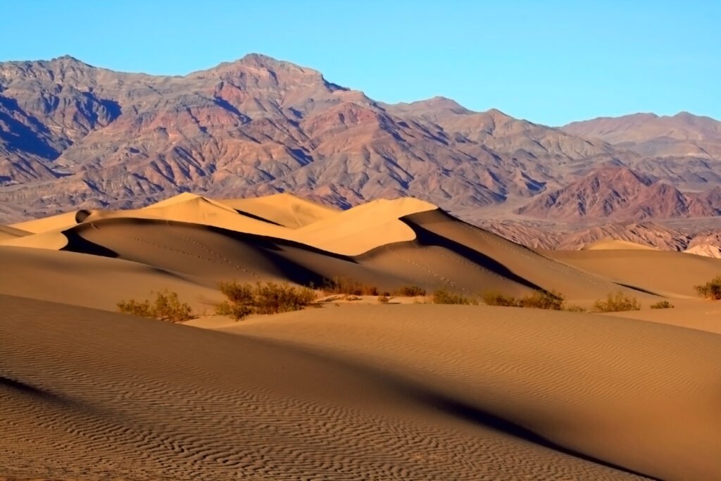
A park straddling the California-Nevada border east of the Sierra Nevada, taking in Death Valley itself, the northern section of Panamint Valley, the southern section of Eureka Valley and most of Saline Valley. It occupies the interface zone between the arid Great Basin and Mojave deserts, protecting the northwest corner of the Mojave and its salt flats, sand dunes, badlands, valleys, canyons and mountains. It is the largest national park in the contiguous United States, and the hottest, driest and lowest of all the national parks; Badwater Basin, at 282 feet below sea level, is the lowest point in North America. More than 93 per cent is designated wilderness.
Watch