Tyrol Alpine & high mountainGlacier & iceHill walking
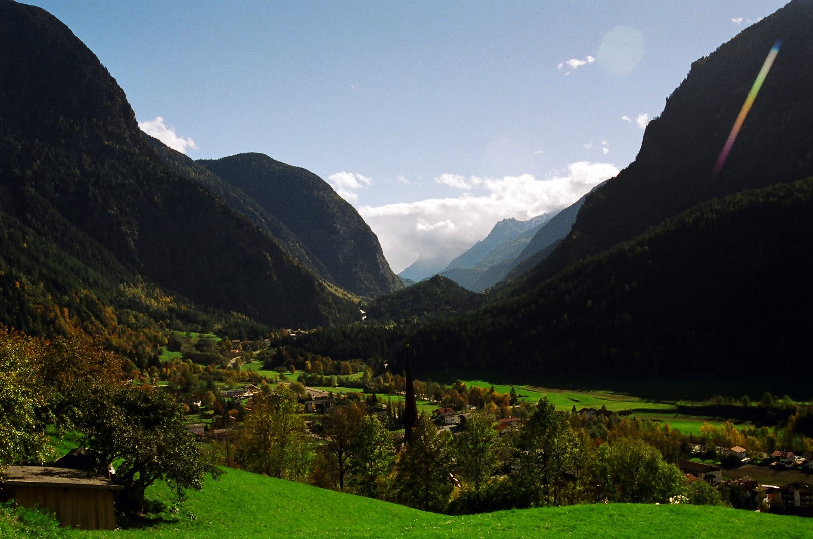
Ötztal
Sixty-five kilometres to the border with Italy
Photograph by Bede735 on Wikimedia Commons
About Ötztal
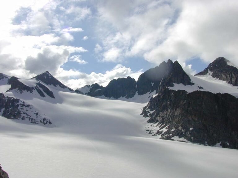
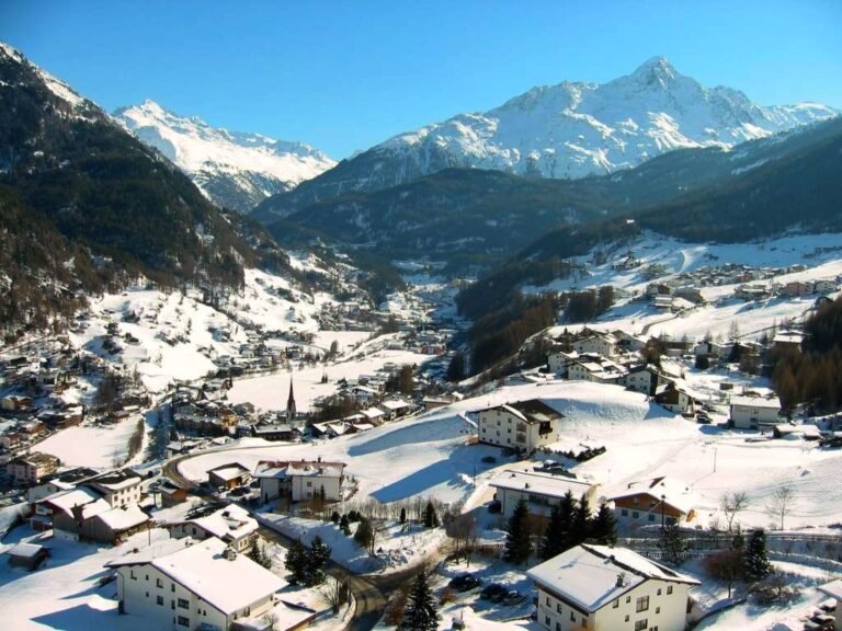
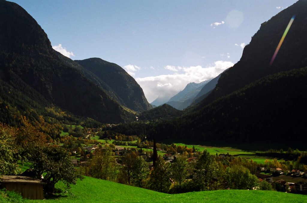
An alpine valley sixty-five kilometres long, drained north by the Ötztaler Ache, separating the Stubai Alps to the east from the Ötztal Alps to the west. Its northern end meets the Inn about fifty kilometres west of Innsbruck, where the valley’s only railway station connects to the Arlberg line. The southern end, the Gurglertal, finishes at the border with Italy against the main chain of the Alps, with many glaciers and high peaks including the Weißkugel and the Similaun. Obergurgl at that end is the highest parish in Austria.
Watch
Read and plan
Nearby, across borders
Within 60 km as the crow flies, in any country.