Styria Alpine & high mountainHill walkingScenic route
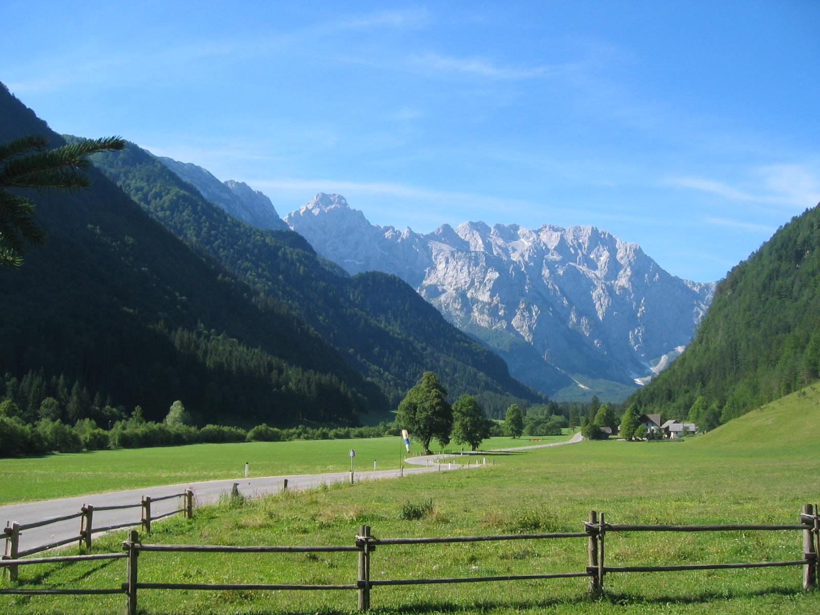
Logarska Dolina
Ringed by two-thousanders, 113 residents
Photograph by Ziga on Wikimedia Commons
About Logarska Dolina
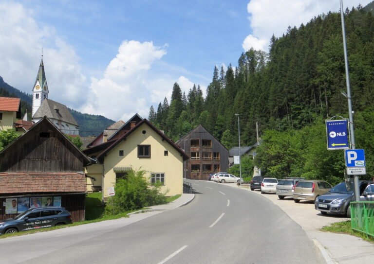
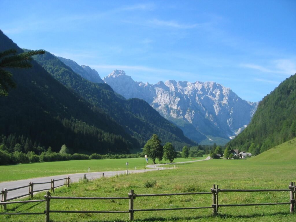
A settlement of 113 people in a valley ringed by the two-thousanders of the Kamnik–Savinja Alps, Krofička, Ojstrica, Planjava, Brana, Turska gora, Koroška Rinka and Mrzla Gora. Rinka Falls at its head is the source of the Savinja, one of the main rivers of the country. The village is protected as an immovable cultural monument of local significance. Its small church, dedicated to Christ the King, was built between 1930 and 1931, and there is an iron-rich spring under Mount Olševa.
Watch
Read and plan
Nearby, across borders
Within 60 km as the crow flies, in any country.