Yorkshire Cave & undergroundHill walkingNational park
Yorkshire Dales
Limestone dales, and part of the UK's longest cave system
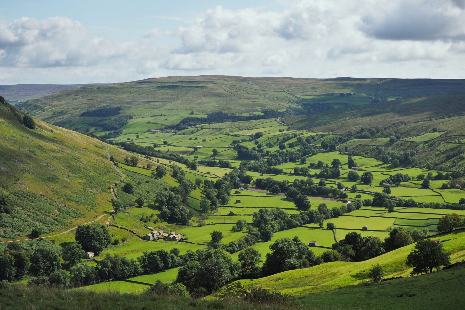
Photograph by Kreuzschnabel on Wikimedia Commons
About Yorkshire Dales
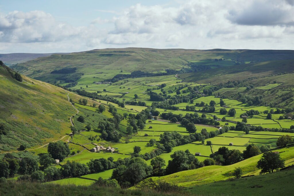
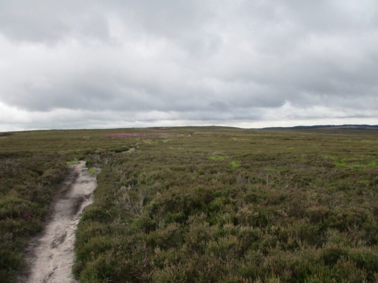
Sheltered glacial valleys separated by exposed moorland, cut into Carboniferous limestone that shows itself most plainly in the south-west at Malham Cove. Over much of the area the limestone is overlain by the Yoredale Series, alternating weak shales and hard limestones and sandstones, which is what gives the dales their stepped profile. Seven river catchments run through them: Swale, Ure, Wharfe, Aire, Nidd, Ribble and Lune. Part of the Three Counties system, the longest cave network in the United Kingdom, lies beneath. Dry stone walls and field barns are the signature of the surface.
Watch