Southern Region Lake & waterwayNational parkPrehistoric & archaeology
Þingvellir
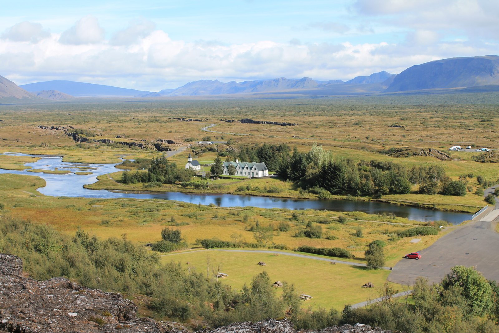
Where the Alþing met from 930 to 1798
Photograph by Ivan Sabljak on Wikimedia Commons
About Þingvellir
The Alþing met here every year from 930 until the last session on this ground in 1798, which makes the field the oldest continuously significant political site in the country. It is also a rift valley on the crest of the Mid-Atlantic Ridge, where the North American and Eurasian plates pull apart, with Þingvallavatn, Iceland’s largest natural lake, to the south. The national park was founded in 1930 for the thousandth anniversary of the Althing and later enlarged to protect the surrounding ground. UNESCO listed it in 2004.
Watch
Read and plan
Nearby, across borders
Within 60 km as the crow flies, in any country.