East Coast & Midlands Heathland & moorHill walkingNational park
Wicklow Mountains National Park
Mountains within reach of the capital
Photograph by Kevin Decherf on Wikimedia Commons
About Wicklow Mountains National Park
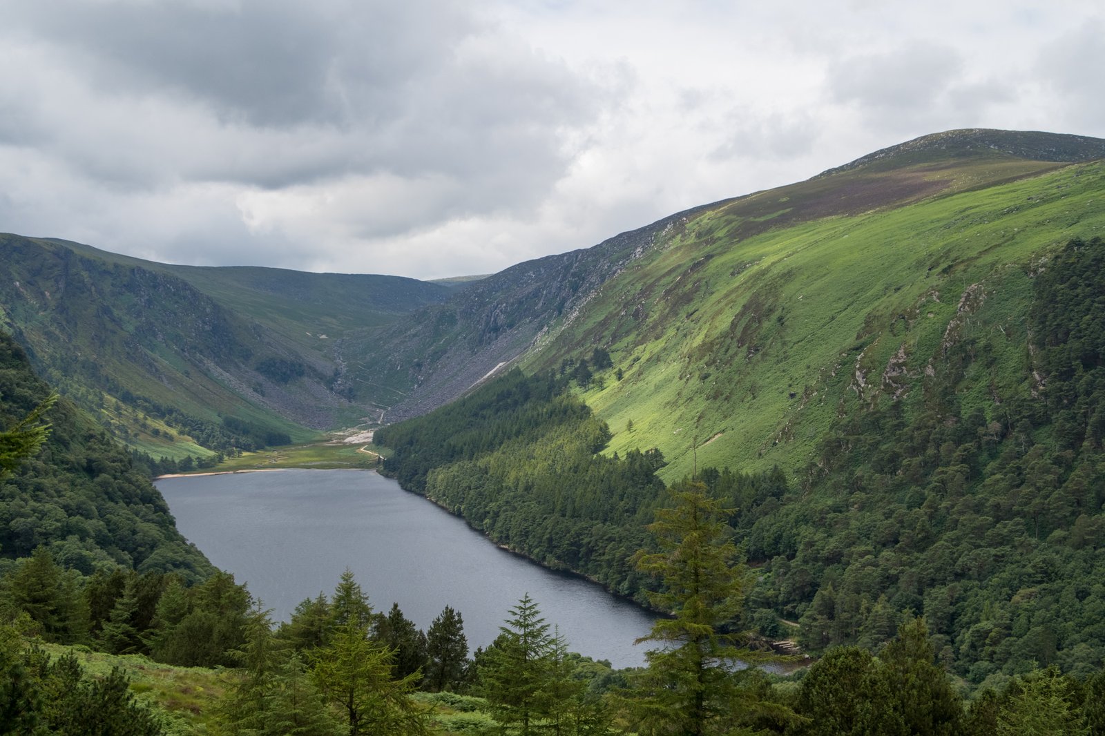
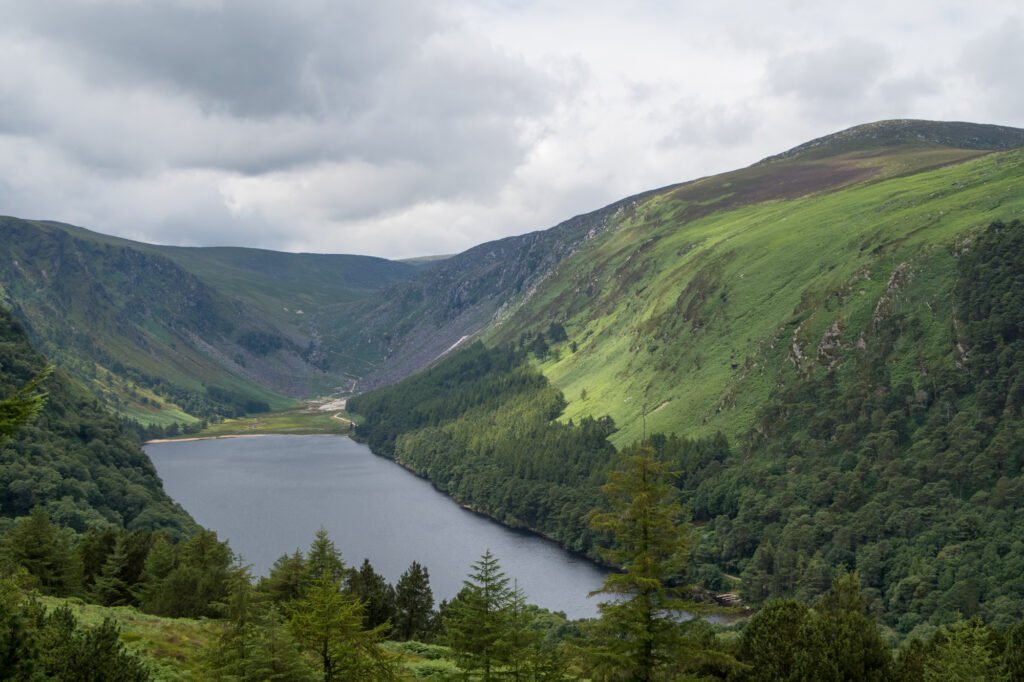
205 square kilometres of protected upland running through County Wicklow and into South Dublin and Dún Laoghaire–Rathdown, a short distance south of the capital, which is what it is for, as much as anything: recreation within reach of a city. Walking, climbing, rowing, diving, fishing and limited swimming are all available inside it. Drivers can take the R756 through the Wicklow Gap, or the historic Military Road, the R115, running from the Dublin hills south through the middle of the mountains to Laragh.
Watch
Read and plan
Nearby, across borders
Within 60 km as the crow flies, in any country.