Lapland Alpine & high mountainNational parkSami culture
Urho Kekkonen National Park
Marked paths west, true wilderness east
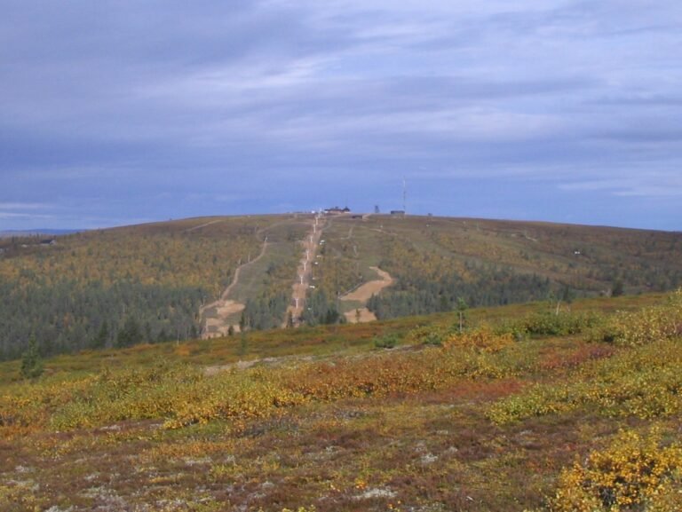
Photograph by MattiPaavola on Wikimedia Commons
About Urho Kekkonen National Park
At 2,550 square kilometres this is one of the largest protected areas in Finland, established in 1983 and named for the president and prime minister. The Suomujoki flows through the north of it. The character changes sharply from west to east: marked paths in the western part suit an inexperienced backpacker, while the wilderness beyond is for long and demanding trips. Most people set out from the Kiilopää fell centre, from Aittajärvi on the Suomujoki, or from Raja-Jooseppi. Reindeer herding is still a working livelihood across the park.
Watch
Read and plan
Nearby, across borders
Within 60 km as the crow flies, in any country.